Day 23: Brighton State Park to Vermont River Conservancy campsite on East Branch Nulhegan River (16.0 miles )

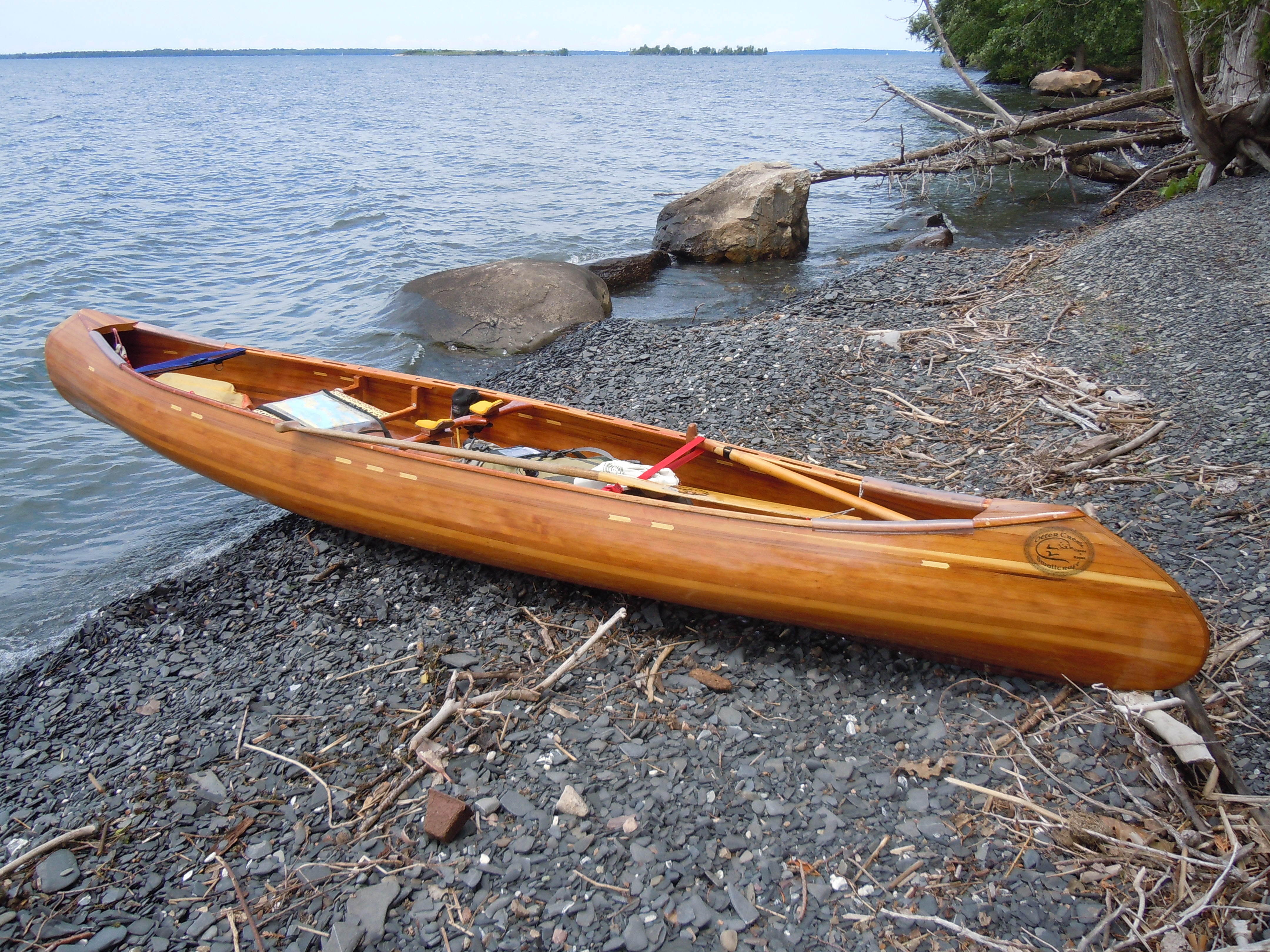
“A canoe with wheels. A canoe with wheels. Look, Daddy, a canoe with wheels.”  A sight this adorable little boy at Brighton State Park had evidently never seen… my canoe parked in front of my campsite, where I was enjoying the morning and letting my wet-smelling tent dry thoroughly.


This family, camped in the adjacent site, happily agreed to let me launch from there, rather than walking all the way back to the beach. First we visited while I ate the remainder of an apple pie and two glasses of orange juice. The world is full of friends we are just about to meet. (And I forgot all of your names except Colleen’s…could you please email me?)

Spectacle Pond, home to the state park, lies on the new and lovely portage route to enter the Nulhegan River.  The NFCT is continually  working to improve and add campsites and portage routes and each year completes a number of work trips, doing such things as building steps or privies or maintaining trails.

PADDLER’S NOTE – The total walking distance for this portage was longer than expected.  Yesterday’s 0.4 miles had a short, steep uphill barely wheelable to the RR tracks.  Then the pond paddling.  Then the walk from Spectacle Pond to the put-in to Nulhegan Pond was 2.1 miles.  The far side of the bridge was a simpler put-in than where the sign was.

Anyway, on to the Nulhegan, where I would paddle 7 miles and then walk 8 miles (due to technical whitewater.)  Like the Clyde, curve followed curve, this time going with the current, in places so narrow and choked with alder that my paddle would have room for only a single stroke.  This was a world apart, where beaver rule and their dams are frequent tollbooths.  Only those who persevere, I thought, will ever pass this way.

An impressive beaver dam…one of maybe forty or fifty on this section of the Nulhegan, spme of which could be run in the canoe or scrambled over with a certain wiggle and scoot.
A tiny treasure discovered along the river.

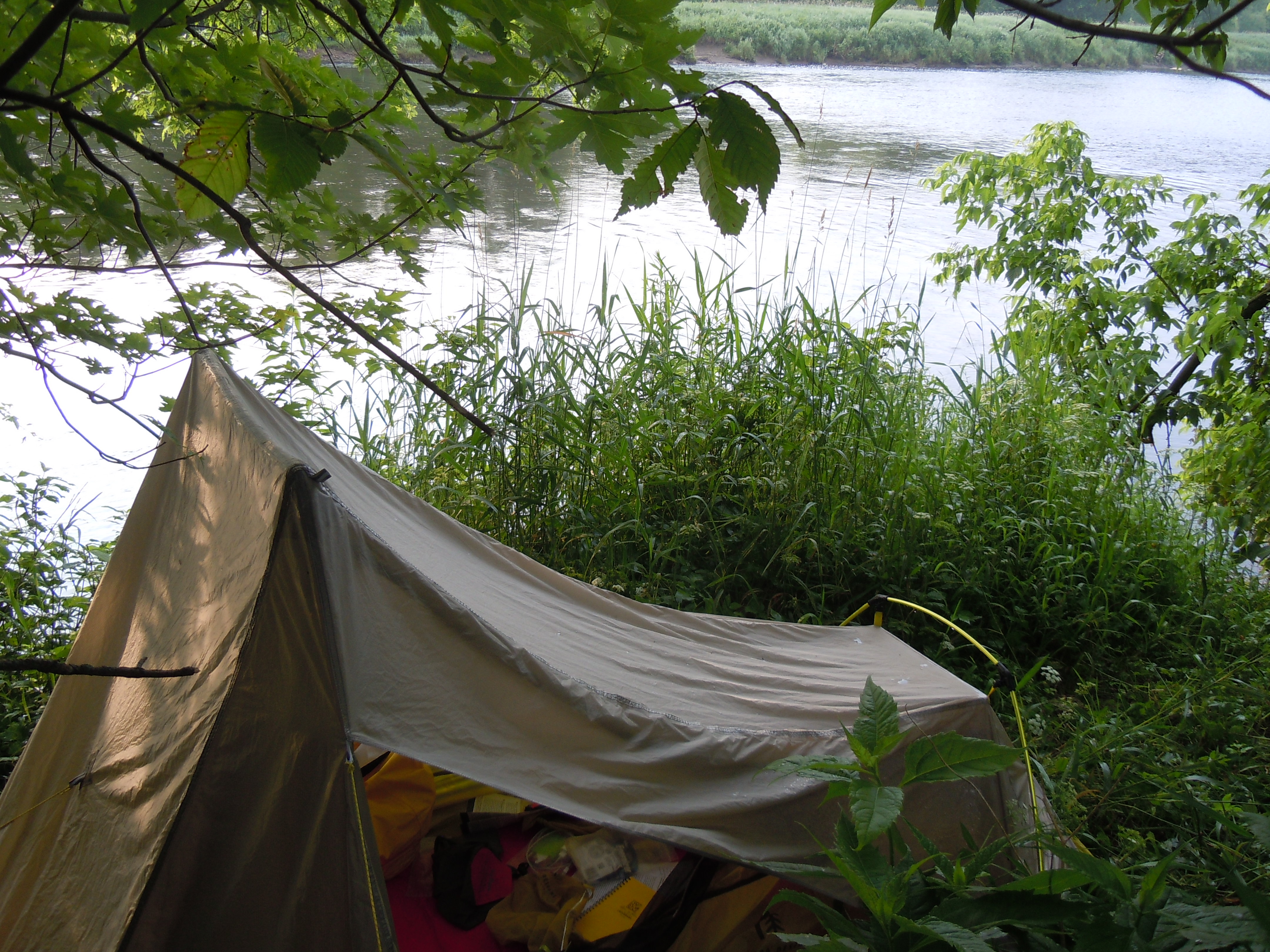
Next came the walking, which was enlivened by the search for moose in the wildlife sanctuary I was traversing. Well, I never did spot a moose, but enjoyed a snack in an elaborate moose watching platform along the way.  No camping is allowed in the wildlife sanctuary, so I continued on to a Vermont River Conservancy campsite on the East Branch of the Nulhegan.  Very buggy, but I discovered to my delight that I could immerse myself in the rushing stream and THEY COULDN’T GET ME.

TOTAL MILES: 335.5

Day 22: Ten Mile Square farmstand to Brighton State Park on Spectacle Pond (12.8 miles)

I would call this a momentous day of achievement and landmarks… successfully navigating the Fen (after a time), paddling through “the tubes,” persevering all the way to Island Pond, and paddling under a hotel to arrive!  

After exploring the Fen together, Sydney and Marji decided to take to the highway from Five Mile Square Rd., where the route was still muddled and the obstacles many.  In Island Pond we met up again, only to say farewell, as they will need to wait for a set of replacement wheels to arrive on Monday.  Having companions for a few days along the way has been a bright spot in my solitary adventure.

Marji and Sydney navigating the Fen, which constantly recreates its routes making for a lot of backtracking and bushwhacking.
A NFCT informational display at the farmstand detailed the plants of the Fen. Although I failed to spot any of its three carnivorous plants, I did enjoy the swamp roses and sedges of this unique bog ecosystem.
Time to paddle through “the tubes” at Five Mile Square Road…yes, there was enough room.

The site of dam ruins that must be portaged during the last stretch of the Clyde River. I enjoyed this narrow clear section where you could see every trout that passed among the waving green tendrils.

Onward to find my home for the night.  After paddling a short way on Island Pond and beginning the portage (which will eventually start me DOWN the Nulhegan River), I arrived at Brighton State Park, where the ranger tucked me into the overflow site in his over full campground.  Goodnight!

TOTAL MILES: 319.5 

Day 21: NFCT Great Falls campsite to Ten Mile Square Rd. farmstand (11.1 miles)

Thanks to Chris at Clyde River Recreation I was able to charge my phone in order to take pictures today.

Thankfully, the Clyde River today held nothing as dramatic as yesterday.  When I asked Chris about current water levels, he told me that dam releases keep this section fairly constant and I found it returned to quiet, flower-filled curves.

While waiting for my phone to charge, I was reading on Map 6 that a lake once filled the river valley here.  The Abenaki who lived along its shores must have been astounded when a 1775 earthquake destroyed the natural rock dam in West Charleston and drained its waters.

Typical Clyde River scene, repeated over many miles.
  
Not so typical Clyde River landmark, guaranteed to make you pause for a photo.

Over halfway into today’s paddle, I rounded a bend to see Sydney and Marji, who had made it to Pensioner Pond last night after all, bypassing Charleston Pond.  We navigated downed trees, a beaver dam and the occasional confusion of the remainder of the river to the NFCT Farmstand at 10 Mile Square Road.  

Run by Pat and Bill, this place is a mandatory stop, with ICE CREAM and the ultimate trail supporters.  Deepest thanks to both Pat and Bill for allowing us to camp right in the farmstand yard by the picnic tables and water and for selling us fresh garden lettuce for a salad.  (A healthier supper than last night.)

Maple nut ice cream on homemade chocolate chip cookies, all sold by the honor system. Loved it!
 
TOTAL MILES: 306.7

Day 20: Derby Four Seasons Inn and Suites to Great Falls NFCT campsite (10.3 miles)

Motel time is a resource to be fully utilized when the schedule allows.  As in Swanton, I stayed until checkout time at 11, drying, reorganizing, writing and eating.  

From the minute breakfast started until it closed, I was consuming protein and calories to replenish my hardworking body, the body that has lately been amazing me.  They had hard-boiled eggs and yogurt and peanut butter and bagels and real Cabot butter.  Overall, a real surprise to me is that I am craving “real” food more than sweets, except for the fabulous bakeries I’ve visited.

Cloudy with unfavorable winds and an upset stomach as I launched on Salem Lake. Blah!

Today was a challenge to be met, more as I had anticipated the trip, even to the point of being dangerous.  I left Sydney and Marji doing errands, with plans to camp together on Pensioner Pond, after several portages, ponds, and another section of the upstream Clyde.

Little Salem Pond was a world of water lilies and grasses, followed by the sand ripples and clear waters of the Clyde. No mud for a time, anyway.

Curve followed curve, as damselflies flitted among the grasses, and graceful trees stretched bank to bank, an arch to paddle beneath.  A Google Earth image of this stretch would actually make a great maze, complete with dead ends.  

Sadly, all good things must end and gradually I began to fight the current, the shallows, then the rocks, the rapids, my goal the Fontaine Rd. bridge.  I almost made it.  Only one curve separated me from seeing the bridge when I admitted not only was it too risky to continue…I might be swept off my feet…but also that I was exhausted and had not been resting.  Just then, a mown lawn on the left, the sound of a lawn mower, and on the mower, Randy.  From my heart , I said, “You have been a blessing to me today,” as I took out across his yard.

Looking across the river just at the point where I put up the white flag of surrender.

After that, I was just looking for a place of respite and soon.  A quick stop at Scampy’s for snacks to go with dinner and then tiny Charleston Pond looked like heaven, with a welcoming loon.  

It turns out that there is an NFCT campsite there at the start of the Great Falls portage, home for the night.  (Pensioner Pond is further on, but it was getting late and I thought Sydney and Marji must be behind me).   By the way, dinner was cider, chips, and Snickers bars…oh no!

 TOTAL MILES: 295.6 

Day 19: Perkins Landing, Lake Memphremagog, Quebec to Derby Four Seasons Inn, Derby, VT (15.9 miles)

In spite of solid rain, the day started great thanks to the kindness of a stranger.  The gentleman in charge of the landing ( which was a safe, comfortable place to camp) lives right there and came on duty at 5 a.m.  I required a certificate that my boat had been cleaned and inspected and the $30 fee paid before I could venture out on the lake.  Not only did he GIVE me the certificate, but also the weather outlook, possible places to seek shelter, and a caring smile.

“You see all these boats?” he asked.  “You can stop anywhere, any boathouse, you go inside, no one say anything.”  I felt like I had a friend.

So at the early hour of 6:30, I set out, discovering a hefty wind at my back.  The rain, the wind, a little surfing practice, where was Peter?  (By the way, hope you and Viveka had a wonderful anniversary celebration).

Sydney and Marji were my paddling partners as we flew down Lake Memphremagog and back into the U.S. under turbulent skies with the wind at our backs.

Quebec was clean, delicious, welcoming, and swift, but I was comforted to return to the good old United States.  I felt more vulnerable to logistics traveling by canoe than I ever would have with the security and mobility of a car.  A couple of buoys marked the international border.

Coming into the marina to check in by phone with U.S. customs. Our scouting trip in April meant I knew just where to head as I approached the bustling waterfront. (The small wooden building on the left).


Finished Map 5 today with my arrival in Newport, VT. Blessed to have new friends to record the moment!
  

Put in to the Clyde River for just a mile to the Western Ave. bridge, then walking again, surprisingly climbing over 300 ft. enroute to the Derby Four Seasons Inn at 4412 Route 5, right along this extended portage route.  (And also right by the Vermont Pie and Pasta Co. and Shaw’s featured in an April post from our scouting trip.). We enjoyed lunch at Newport Natural and pizza here and frequented plenty of area stores in our brief stay.

A glimpse of the Clyde River from the road. More upstream paddling in the days ahead.

TOTAL MILES:  285.3

Day 18: Canoe and Co. to Perkins Landing on Lake Memphremagog, Quebec (18.8 miles)

I left my pretty riverside perch wicked early, after enjoying a Grey Gables muffin and coffee.  I have adapted well to cooking in my tent vestibule and eating while protected from bugs and weather.  I would have appreciated the chance, though, to thank Frank and Rochelle again for their hospitality and for their dedication to the NFCT.  I had won my night of camping from many that they donated to NFCT’s silent auction. I particularly loved the small, clean real restroom behind their home.  And Rochelle’s small daughter brought me bananas and an apple.


The final miles of the Missisquoi were serene, although conditions were tougher on the North Branch, which leads to the town of Mansonville and ends this 74-mile upstream section.

PADDLER’S NOTE (and evidence of my navigational challenges):  A couple was fishing at the Mansonville takeout and I was so focused on not disturbing their fishing that I did not notice the two portage signs, which were also partially obscured by vegetation.  If you reach small rapids, you’ve gone too far.  By the timeI figured it out and returned, I had a lovely audience of tourists offering help and the fisherman still with his tackle and self on the wooden steps.  Oh well


Mansonville, where I lunched at the Owl’s Bread Boulangerie, is a pretty town founded in 1803 by Joseph Chandler and John Lewis. A round barn of Shaker construction, built in 1912, made an educational stop as I portaged through town.

A fluid and flexible schedule adds to the adventure of the trail…and so I ate my braised pork on milk bread with caramelized onion and apple sandwich with salad and fruit custard (wow!) and debated whether to go on.  The weather looked iffy but the nice manager checked and said I was good to go.  A portage, a paddle, a steep takeout where I used the official Diorio Access and met a friendly cyclist who tried hard to convince me to go back to Mansonville and walk from there.

PADDLER’S NOTE:  Chemin Peabody, which comprises most of the Grand Portage , is being resurfaced.

The barns of the Grand Portage add charm to a climb that takes you up about 670 feet to cross the Missisquoi/St. Francis divide into a new watershed. Going down was a breeze, and breezy, as I walked to Perkins Landing to find Sydney and Marji Aveson there to welcome me. They had already set up camp after taking a shuttle around the Grand Portage.

TOTAL MILES: 269.4 miles 

Day 17:  Grey Gables Mansion, Richford, VT to Canoe and Co., Sutton, Quebec (12.1 miles)

Roadside beauty…anyone know their name?

My dreams about breakfast at Grey Gables had been growing over the hungry miles of paddling, but chef Tim was up to the task.  Fresh fruit with yogurt and granola, white chocolate cranberry muffins, banana walnut pancakes with bacon, orange juice and coffee.  Fuel of the finest kind for traveling upstream and crossing the border into Quebec.  It would be an exciting day!

After consulting with Tim, I planned  to paddle the difficult six miles of the Missisquoi River from Richford to the Canadian border.  After the surprise of  meeting two other through paddlers (daughter Sydney and her mother Marji) who were portaging past, I hugged Mom and Dad goodbye.

I made it 1.5 miles, but the river was getting progressively shallower and the current faster.  There were also rapids ahead and the Canadian border closed at 4 pm.  Back to the road, very carefully around the edge of a corn field.  At least there weren’t any “No Trespassing” signs where you could see them from the river!


Downhill (how could that be on an upstream section?), dangerous (almost flattened by a speeding motorcycle), and delightful (countryside), are my alliteration for this walk to Canada.


Customs officers from both countries were helpful, not intimidating, and allowed me to leave my boat at the U.S. checkpoint while I just took my passport to check in with Canada.

Back on the river, I finally found folks enjoying the river…tubing, swimming, kayaking, sunbathing.  After waving “bonjour” to many, it finally hit me.  I could stop for a rest.  I could swim.  It was blissfully cool and relaxing and I took several dips enroute to my campsite at Canoe and Co.

TOTAL MILES: 250.6 

Day 16:  Campsite just before Twin Bridges on Missisquoi River to Grey Gables Mansion in Richford, VT (5.4 miles)

Yes, I only went 5.4 miles today, although it took me four hours.  The current is picking up, the water is shallower, and (could it be?) I just may have been tired and needing a short day.  Just past my improvised campsite, I passed under the Twin Bridges.

PADDLER’S NOTE:  The Magoon Ledges, today’s biggest challenge, were definitely easier that the Samsonville Dam ruins yesterday.  Also, Davis Park has a porta-potty, great if you end up camping there.

Mom and Dad met me here for a resupply and visit, so today was relaxing and there is not much to report.  Back to bed until the famous Grey Gables breakfast!

TOTAL MILES:  238.5

Is a vegetarian pizza still vegetarian if you add bacon?
The Grey Gables Mansion B&B would be an amazing place to stay even if you weren’t coming off a muddy river! Owners Tim and Debbie say hello to all those through paddlers who are reading along.

Answers and insights…more on my NFCT 2015 through paddle

Well, I have been humbled, energized, and amazed by all of the comments and emails that I have been receiving along the way.  Together with the generous, friendly folks that I have met and paddled with, you are making this journey a deeper, richer experience.  And often cheering me up when I get down!  I thought I could update you all best with this post, so here goes.

Q:  You always sound so cheerful, but are there times that are tougher?  A:  At heart, I am a “look on the bright side” person and that is reflected in my writing.  The toughest challenges so far, in no particular order, have been not feeling my best at the beginning, the difficulties of the portages, misplacing things (especially my credit card for a few days), and the pain and numbness in my hands.  Luckily, I now have an arsenal of Aleve!

Q:  How are your various aches and pains?  A:  Praise God that my eyesight has been back to normal since about the start of this adventure.  The laryngitis and cough I had in the first week are gone.  My left foot feels better every day and is very happy when I am paddling instead of walking.  Perhaps the cold water immersion is soothing, too.  How is that for looking on the bright side of constantly wet feet?  My hands are as noted above, but otherwise I feel strong.

DSCN7147

Q:  Of what did Peter Macfarlane make his boat?  A:  Peter builds and sells boats and his business is called Otter Creek Smallcraft in Vermont.  He completed his very wet 2013 through paddle of the NFCT (without wheels) in his “14′ solo Sylva Tripper cedar-strip canoe by Otter Creek Smallcraft.”

Another challenge is communication, especially getting my posts the way I want them, with infrequent time and access to a good internet connection.  (Hence my middle of the night posting here at the Grey Gables Mansion B&B).  Before I leave for the wilds of Canada, I would like to share a few photos that I will later add in to the appropriate days.

DSCN6746
Mother and fawn on First Lake in the Fulton Chain of Lakes less than an hour from the start
DSCN6896
Hanging out with Z (Zion) and Alton, while we were waiting for their group’s canoe to be recovered from a strainer
DSCN7136
Nancy and Tom, trail angels of the finest kind, took kind care of me in Plattsburgh. Nancy later tried to track down my lost credit card, which she will be glad to hear is now found!
turtle cropped
Turtle in the Missisquoi wildlife refuge. Yes, Chris Gill, this is a wood turtle, right? Sadly, I know it is not a threatened spiny softshell turtle, which I had really hoped to spot there.

Day 15: Missisquoi River from behind the Abbey Restaurant to stealth campsite just before Twin Bridges (16.2 miles)

After a shorter day yesterday, I was up and on the trail by 6:30 a.m., first continuing down the rail trail less than a mile to the North Sheldon bridge.  Visiting last night at the pub had armed me with local knowledge, which, combined with rereading Katina’s description, led me to put back onto the river there, rather than walking to Enosburg Falls as planned.  It was a great decision, although it took ingenuity to get the gear and boat in at that bridge, down a steep bank. The solution? Slide the canoe down through heavy weeds instead of the slippery path!

Muddy, monotonous, and marvelous…those sections of the river where you can just stay in the boat and paddle.  Most of today was like that.  (Muggy, too, later in the day).  Great blue herons and spotted sandpipers led me upstream, as I amused myself noting all of the animal tracks in the muddy banks.  My phone was on and working for a bit and Megan called.  “So are there more people on the trail there than in Maine?” she asked.  That made me realize that the only people I had seen in boats on this river in days were the group at the Highgate Falls Carry!

IMG_1373-0
Finished with Map 4…signed the kiosk by the Bridge of Flowers and Light, but there was no one to take my photo. This beautifully landscaped old bridge, once used to carry milk to creameries, was saved by a group of local citizens.

After leaving the easy portage through Enosburg Falls, I was hoping to find a restaurant meal.  It was not to be, as I first missed a place recommended by Dennis at The Abbey and then tried to stop when I saw a true Vermont country store from the river.  Pulling over to the easiest access from the bridge, I secured my boat and started walking up a tiny muddy stream.  With every step, I sank deeper, until I was literally in mud to my knees, worried that if I lost a shoe I could never retrieve it.  Humbly, I struggled back, clinging to the meager vegetation and paddled away, eating trail mix!

PADDLER’S NOTE:  The most difficult challenge in this section is the Samsonville Dam ruins.  It took me a long time to go the half mile (longer than descriptions indicate).  Most of this was pulling and lining the boat, but the last bit was carrying gear and then canoe along the shore.

TOTAL MILES:  233.1

DSCN7240
Caught by a thunderstorm and the lateness of the day, I stealth camped again, perched in a small clear spot right by a game trail. Before dark, I heard loud splashing and looked out my window. A doe was crossing the river right toward me. Suddenly, though, she whirled and ran back across the shallow water, pausing to look back, then snorting danger and disappearing.


Canada lilies always brighten up the miles of green river shore