Still thinking about that cornbread. Heidi promised to send me the recipe, which came from a famous chef in New Orleans. She came down this morning to watch me go and spotted a moose.All poised to run Chase Rapids, with my gear, feeling butterflies. I decided not to use the gear shuttle service. Josh, the ranger, released 1,000 cfs from the dam this morning, to bring the river to 2,000 cfs.Looking back at the first rapids. I bailed five gallons of water from my boat after the first two, due to the size of the standing waves. From my journal: “My boat is forgiving and tough and brought me through quite confidently.”
PADDLER’S NOTE: The Saranac River in flood stage was much more powerful and the rapids on the Moose River trickier with less water than Chase Rapids. I was glad I decided to keep my gear, which gave my boat the same feel that it has had for hundreds of miles. The first mile of Chase Rapids has all of the Class II rapids, with a chance to catch your breath between each.
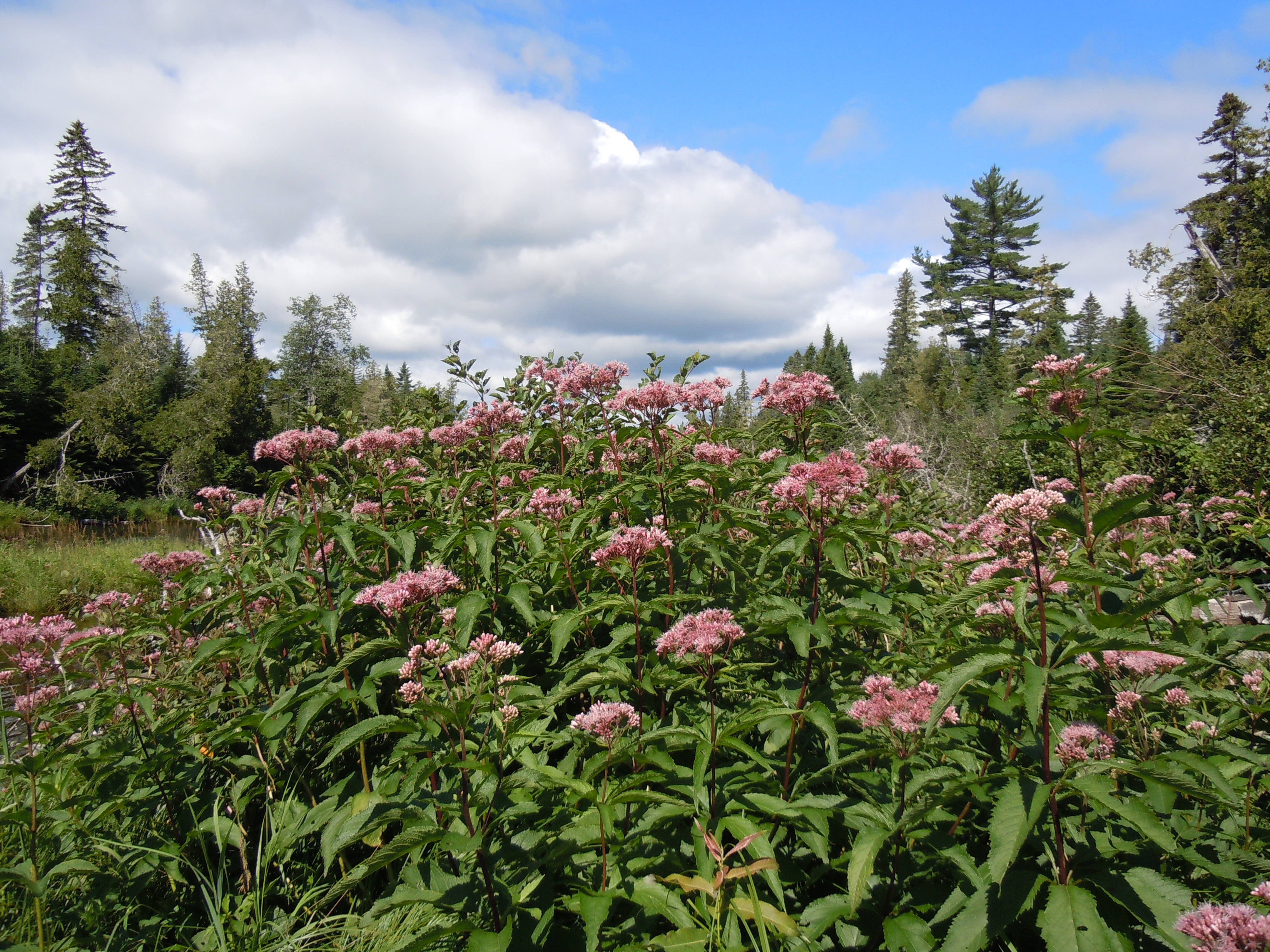
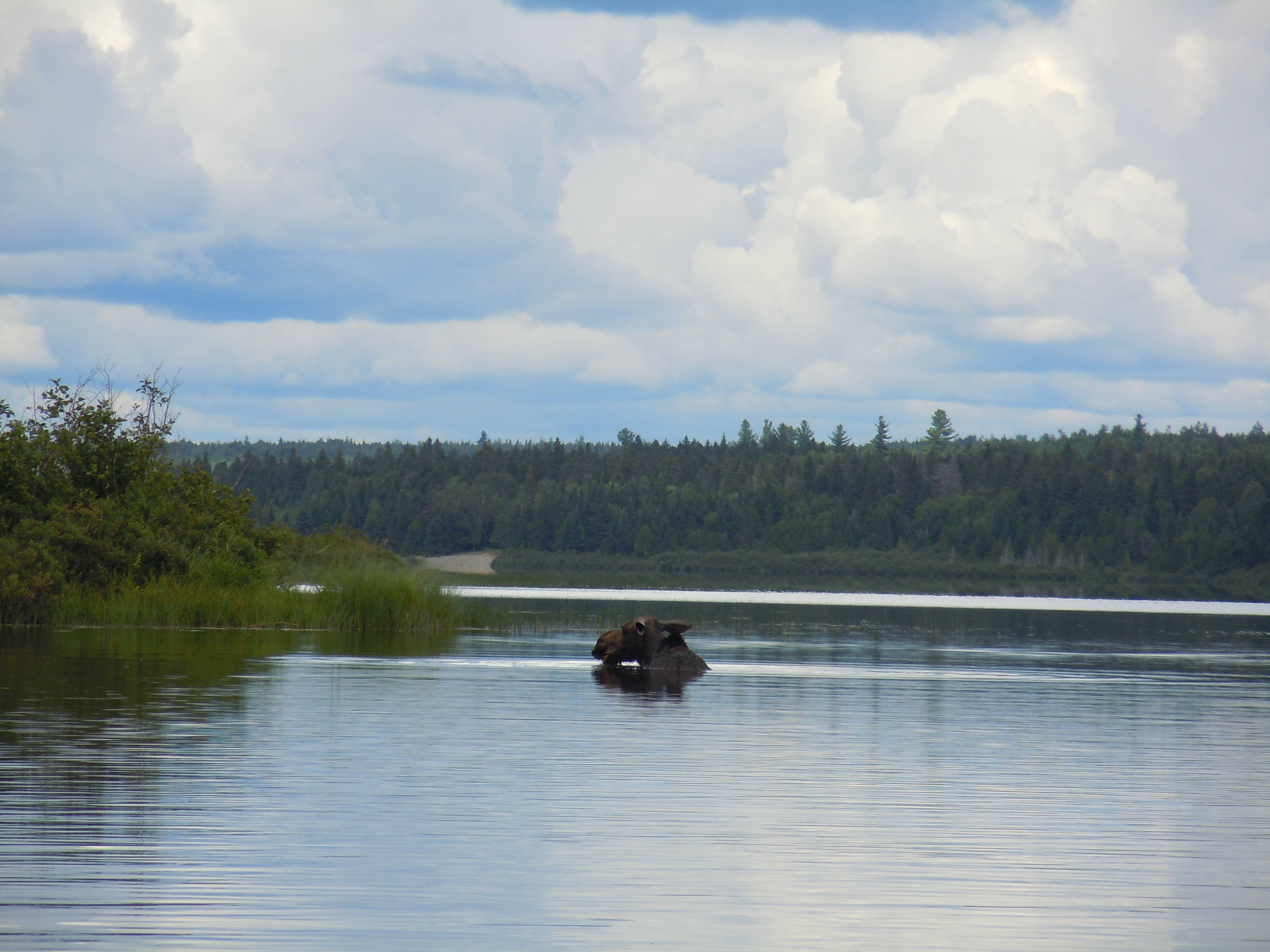
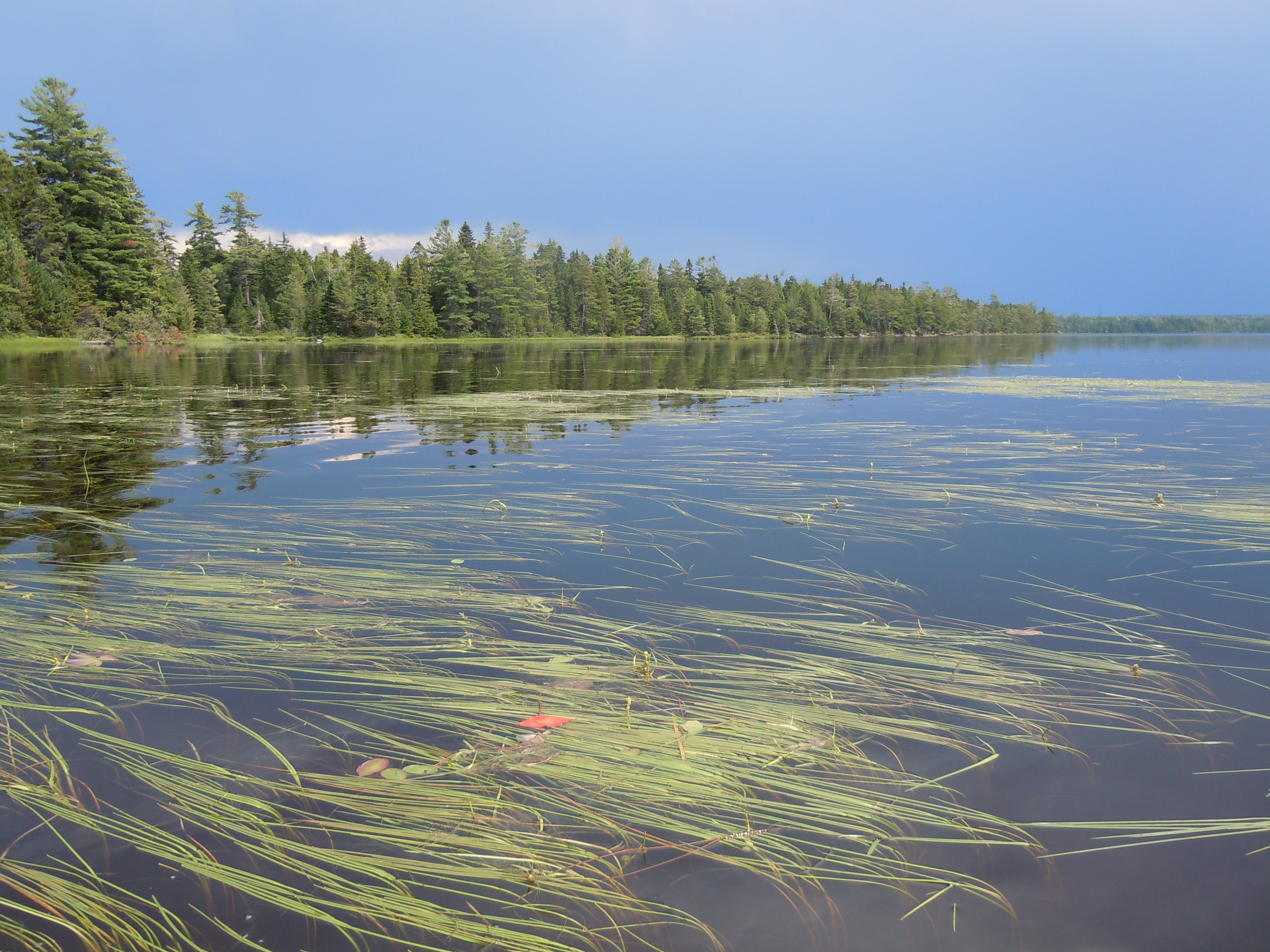
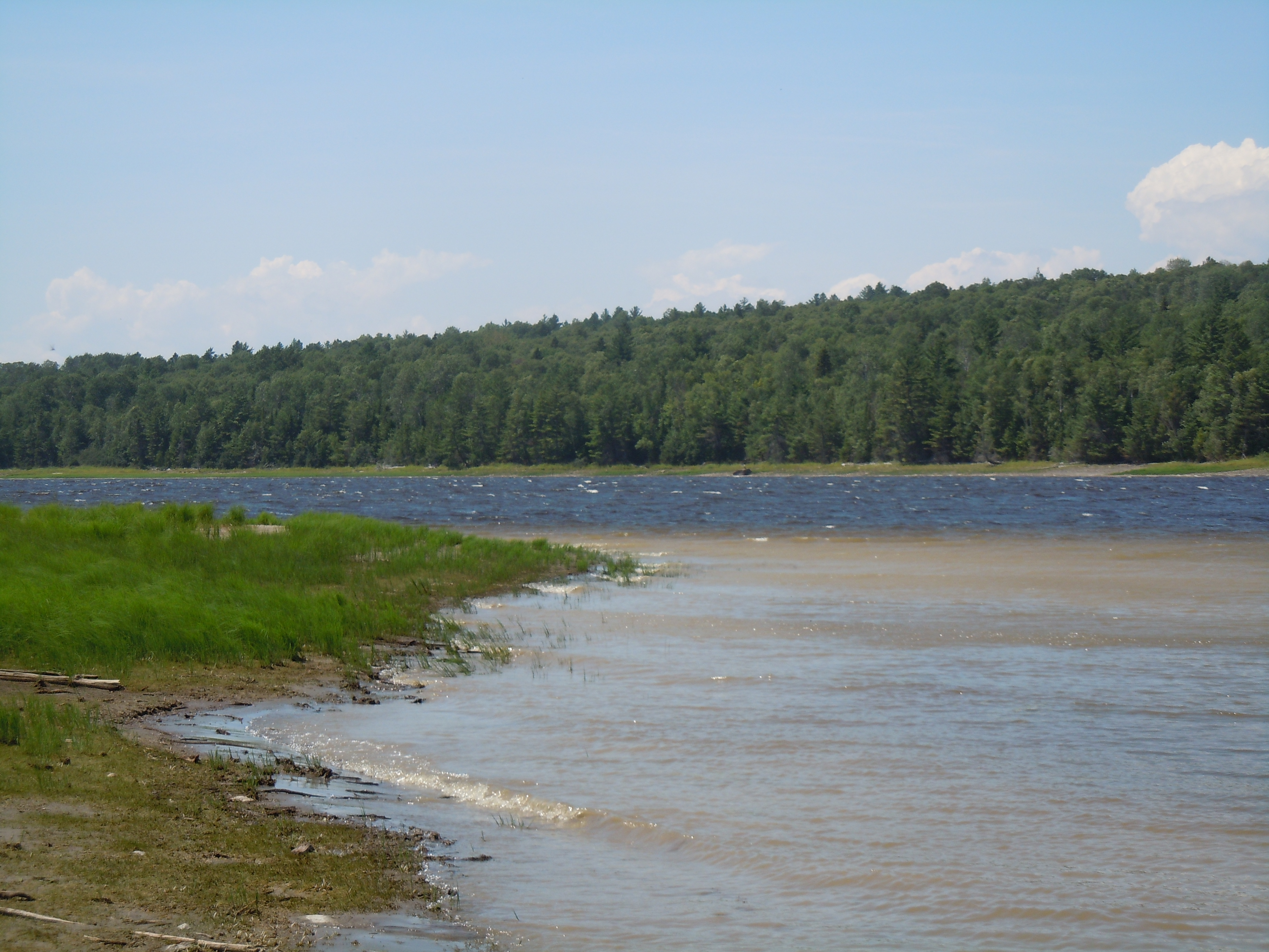
Bank after bank of Joe Pye Weed lined the shores.Look who I met! NFCT interns Jared and Paul on their last day of work, finishing a stone staircase at Meadows. Paul spotted a moose and, earlier, I had seen a mother and calf on Heron Lake. My count is now 9 and theirs 45!Umsaskis Lake in a time of afternoon stillness. God’s presence seemed to abide here, surrounding me with peace. Uncannily, ten years ago this day was my first on the Allagash, as Chris brought me here for our honeymoon.Almost forgot my end-of-map photo, but the American Realty Road bridge was still in sight behind me.Finally, a great blue heron poses, abandoning their usual shyness.Last moose of a moosey day…this cow didn’t even know I was there as I observed her feeding for a long time. I thought how content she must be – mostly underwater, away from the bugs, and indulging her enormous appetite for tasty aquatic plants. The tan sandy bank on the far shore is typical of the appearance of a campsite from afar.This is that moose, shaking herself just like a dog!
What an awesome day, what an awesome place, the icing on the cake of this incredible journey!
OK, I could have, should have perhaps, gone farther today, but look at the experiences I wouldn’t have experienced. Chase Rapids is fast approaching and must be run in the morning between 8 and noon, the hours that water is released from Churchill Dam to create a five-mile run of Class I and II whitewater. Instead of trying to make it that far, I set up camp by late morning just short of Heron Lake and Churchill Dam, poised to be first in line tomorrow.
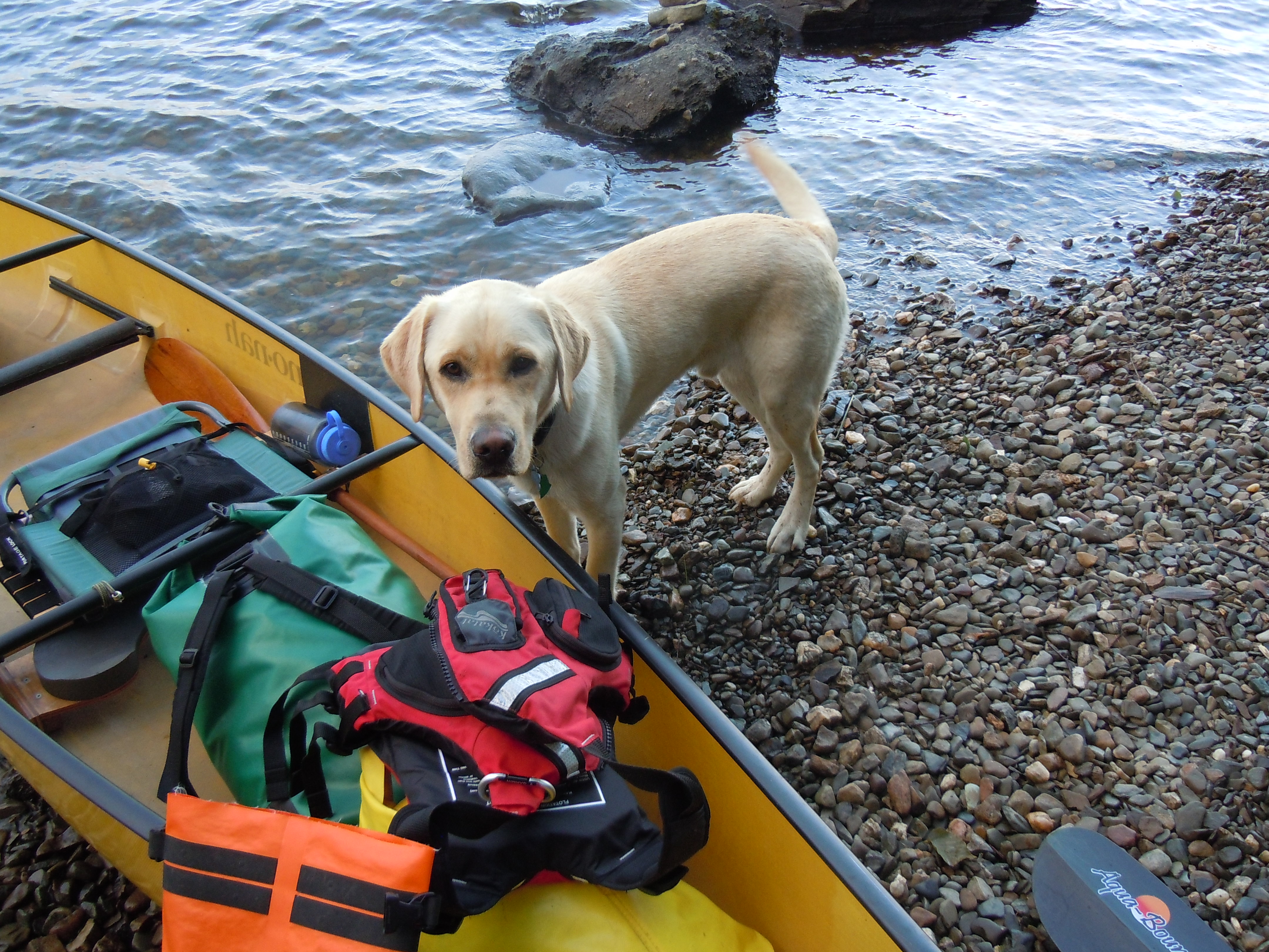
Time to introduce you to Ziggy, who checked this morning to make sure that I didn’t forget anything back in camp!
The morning began well. Rounding Priestly Point, the urgent call of a loon greeted me, then echoed back with intensity and precision from the darkly wooded shore. Again and again the male called with gusto, his mate nearby. Always the answering voice quickly responded. I was so enjoying the wing stretching, the closeness, the echoes, that I didn’t give thought to the why of the scene. Until I spotted a small dot near the mother – a chick, of course. I angled away to leave the little family in peace, the calls and their echoes immediately fading into memory.
Today’s flower of the day has been identified as water smartweed. Thanks, Peter, and I think someone else as well!
After my loons, and a yellow-bellied sapsucker, and Moose #4, I arrived in camp and was all settled in well before noon. I love looking at maps…today I just stared for a while at Map #12 as it dried, seeing how one body of water flowed into another and trying out the Abenaki names.
By mid-afternoon, I’d had my fill of reading, snacks, and gathering firewood, and decided to paddle over to the Churchill Depot History Center at Churchill Dam. Leaving a note for my Vermont friends welcoming them to camp with me, I spent a full hour at the museum reading about Paleoindians, examining artifacts, and trying to imagine the historic photos bringing life and people to the places that are now so wild. On the way home, paddling in the lee of the west shore, I spotted a cascade of water. A bull moose, just raising his antlers, still in velvet. The reward of Moose #5 for not lazing around camp!
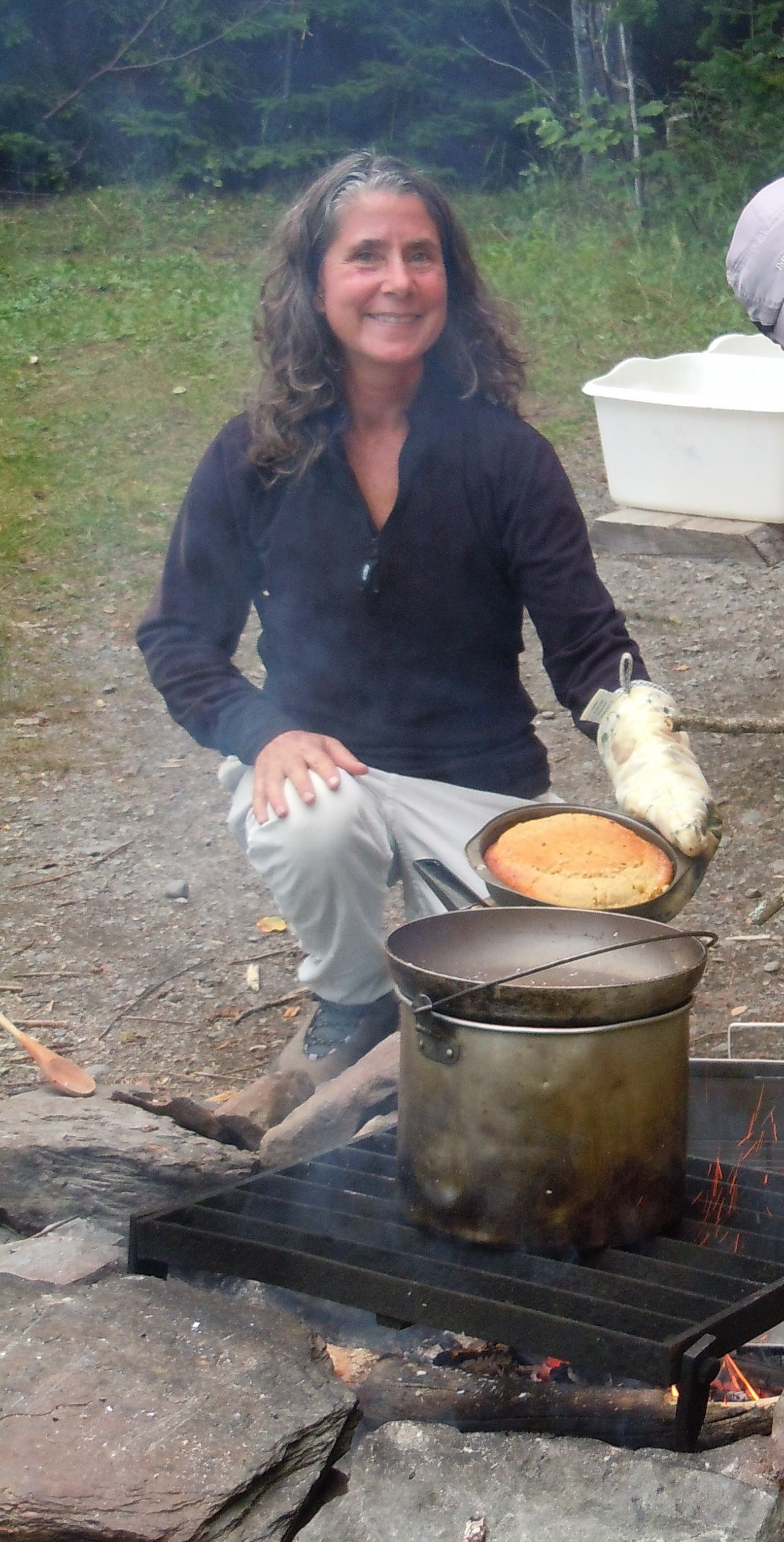
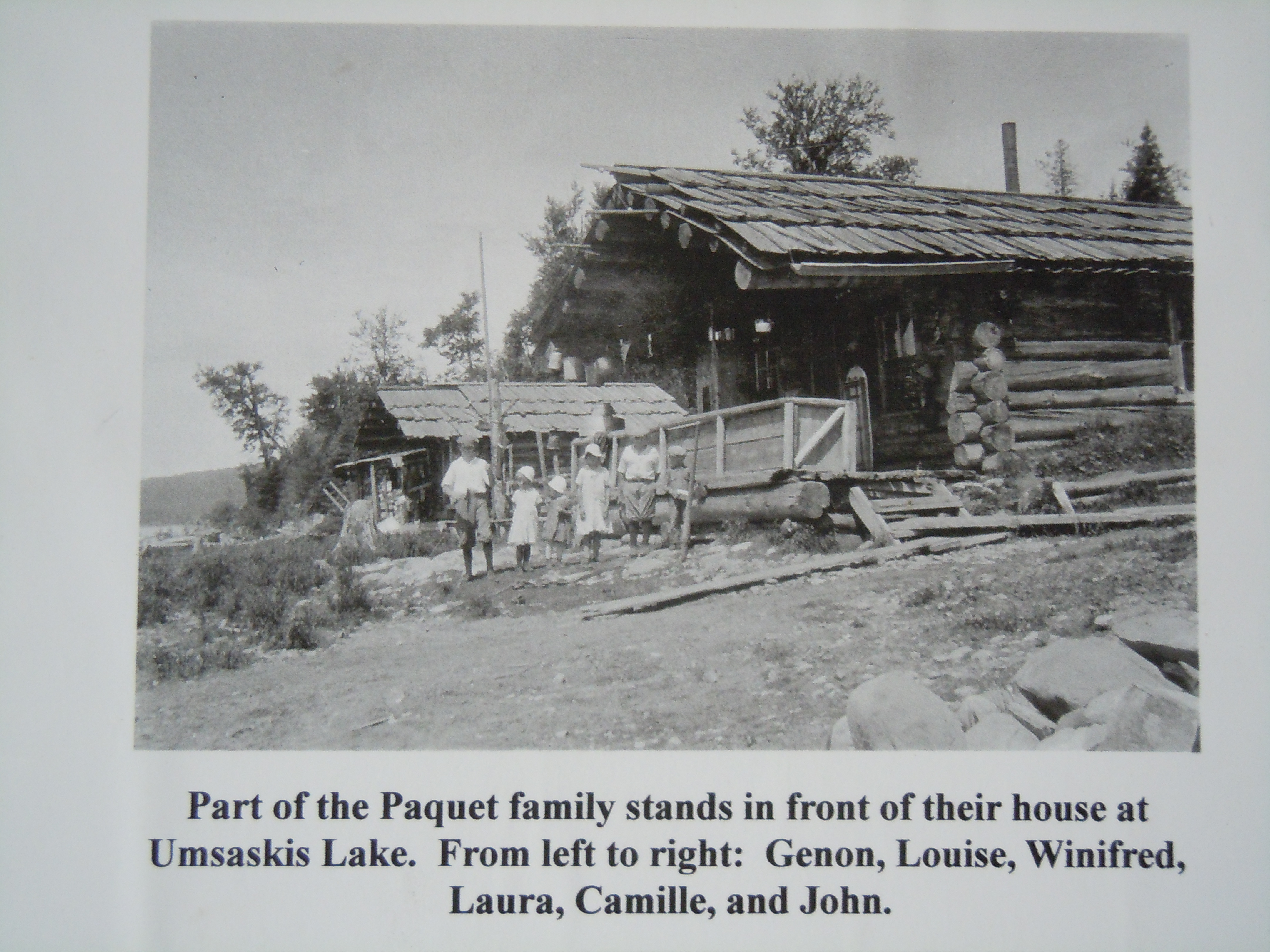
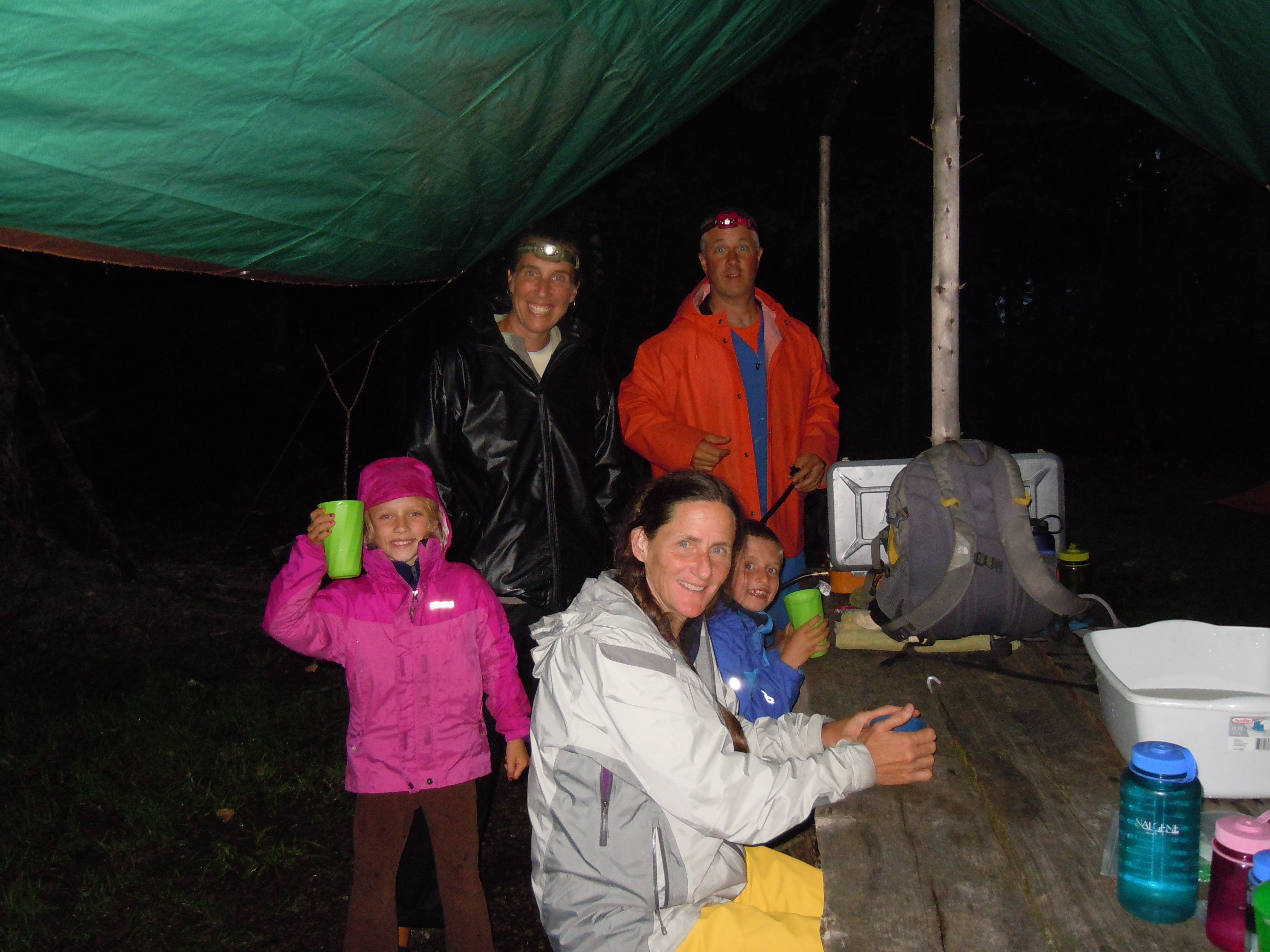
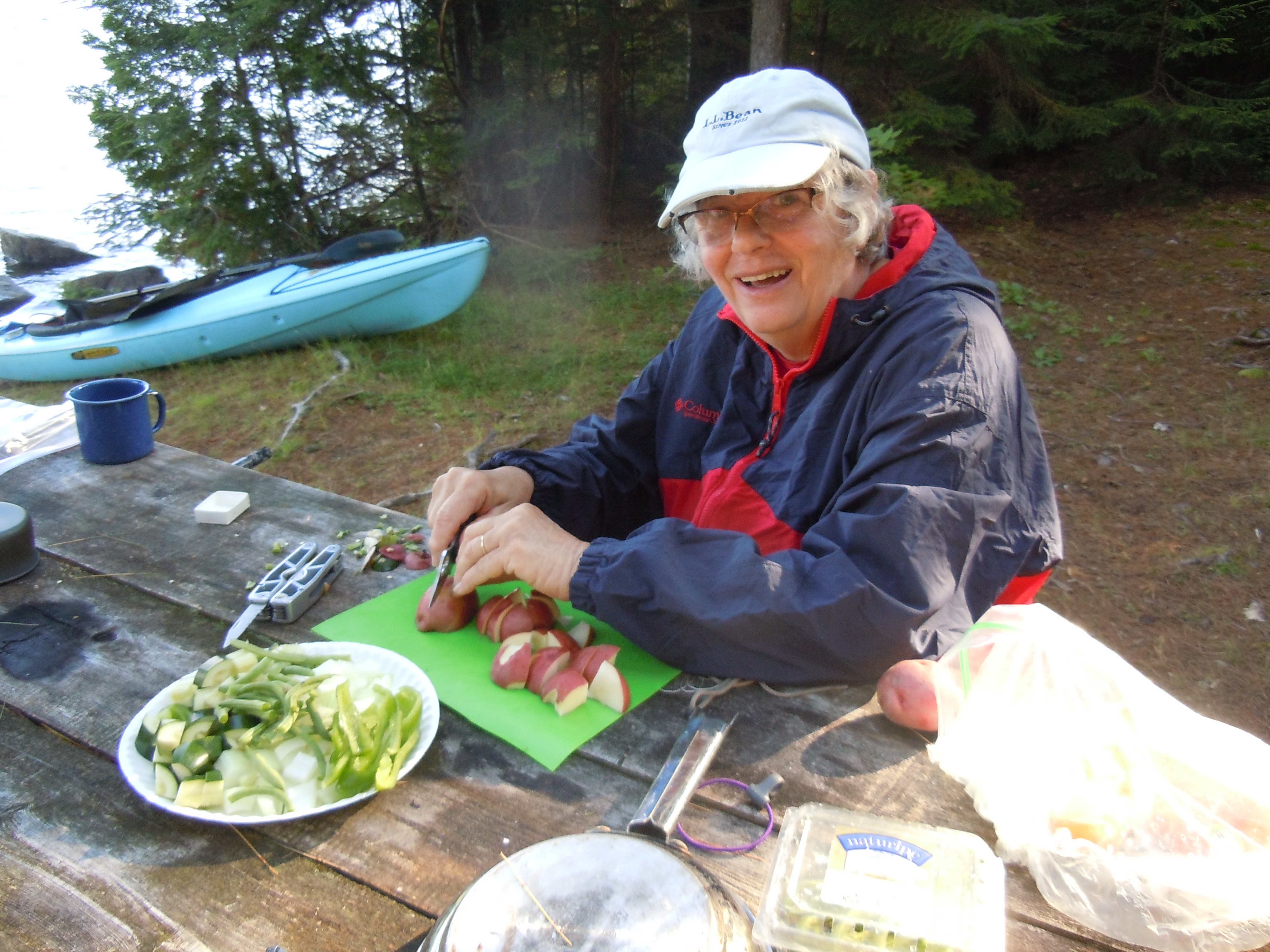
Real people lived their lives here…wish I could go back in time for a day!Imagine all the biscuits that were baked in this reflector oven found at Eagle Lake Village.I crept closer by carefully pulling myself along shoreline grasses and bushes while he was feeding.Chris, Amy, Heidi, Mary, Zayda, Zeb, and Ziggy found my note and look what was waiting for my dinner when I returned to camp. Heidi mixed up her famous cornbread and Chris baked it in a modern day reflector oven!
On Chamberlain, rays of sun bring a spirit of prayer to the peaceful lake.
My inner self is relaxing. There are so many layers of civilization and responsibility to peel away, to quiet the mind. I rose willingly and ventured forth into a day of clouds and sun, clouds and sun. Just me beneath the ever-changing sky, able to cross the tranquil waters on a straight course, a gift for rising early. To me, Lock Dam is the logical portage, just a quick carry over the hump of the dam, although I paused and actually got out my stove to make a second breakfast of potato soup with bacon, my tent drying while the sun was out.
Lock Dam is a short and simple portage…just be respectful of the “DANGEROUS WIRLPOOL” (sic) warns a new sign.
The rushing stream into Martin’s Cove is a manageable and picturesque half mile of fun and the entrance into Eagle Lake. I paddled along by Pillsbury Island, where Thoreau once camped, under a steel-gray cloud, hopefully watching the sun shine on distant Farm Island. Well, the cloud won this time. The skies opened, with gusty winds, an instant drop in temperature and a crazy pummeling of rain on all the world. Committed at that point to bathing suit and shorts, it was a little late for a rain jacket. I simply kept my speed up, burning calories and racing toward that distant sun, still there. As the squall passed, I watched the sun move along the shore, rippling toward me tree by tree, until we met, all my bare skin instantly warming. Heavenly!
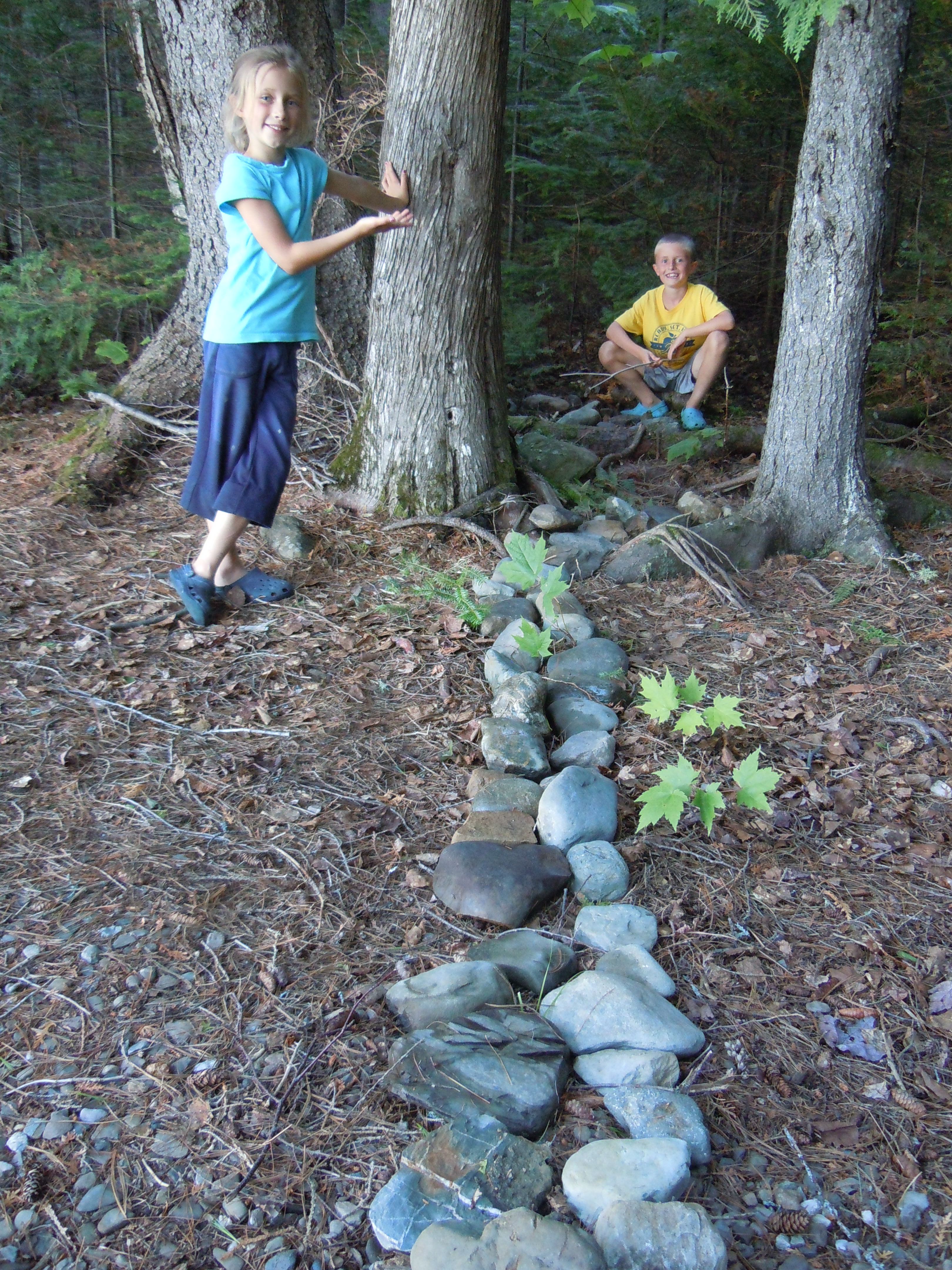
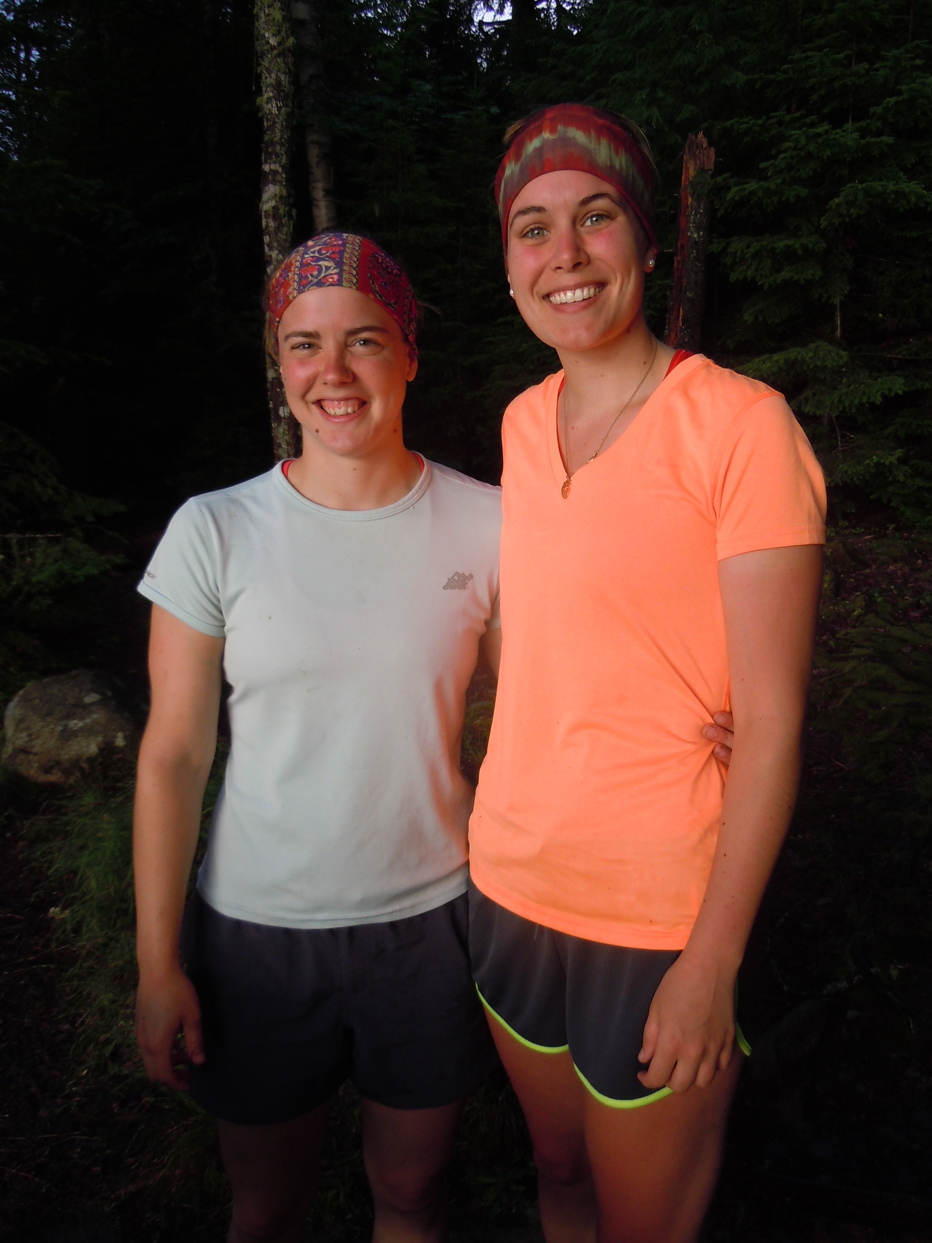
From 1927 to 1933, a real railroad operated in this remote wilderness, its tracks stretching from Eagle to Umbazooksus Lakes. It was worth fighting the wind into the southwestern corner of Eagle Lake to visit these abandoned giants, which are surrounded by a graveyard of other artifacts from that logging era, including the earlier tramway.I made more wonderful friends today, when Zayda and Zeb and their family and friends camped next to me at Priestly Point. Here is their fort, with all the comforts of home, constructed in an afternoon. My favorite features were the candy dish (ferns in a hollowed rock) and the custom s’more toaster with rack to hold it.More instantly-comfortable friends…Zayda and Zeb with their parents Amy and Chris in the back and friend Mary in front (Heidi is missing). Do you have any idea how grateful I was to share a hot dog and a dish of home-grown green beans under their tarp? (It rained again).
Nancy Spencer drove in yesterday, on a journey of rediscovery, visiting places where she grew up camping with her family. We shared the deserted campground and stories of times gone by in the places that have become dear to me.
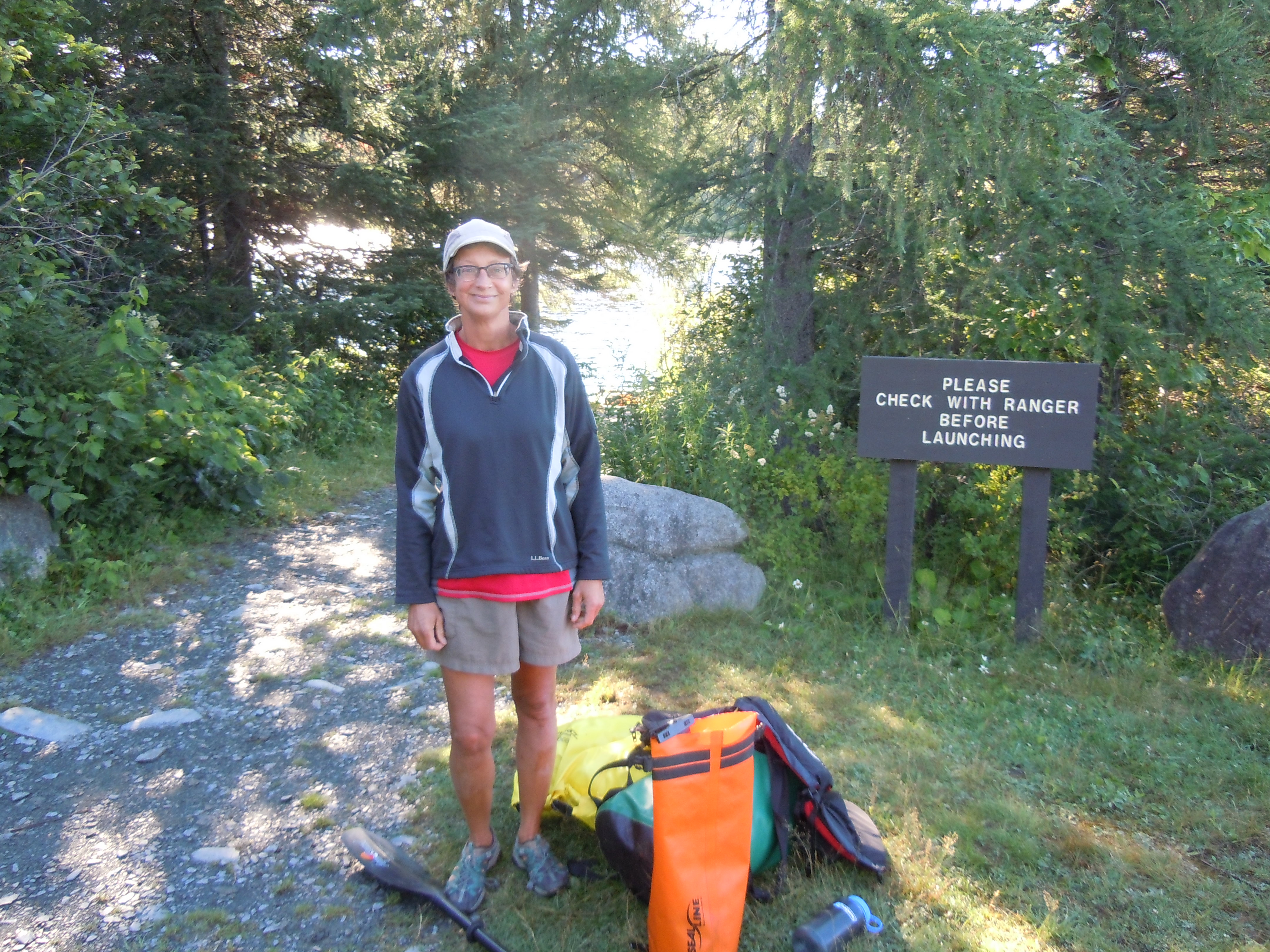
Everyone knows exactly how many times they’ve done it – usually either once or never. “Done it once, don’t need to do it again,” was one through-paddler’s assessment. (Although I once talked with an Allagash ranger whose count was 9.) Would mine reach two today? Twice traversing the treacherous 1.9 miles of Mud Pond Carry, the historic gateway to the Allagash?
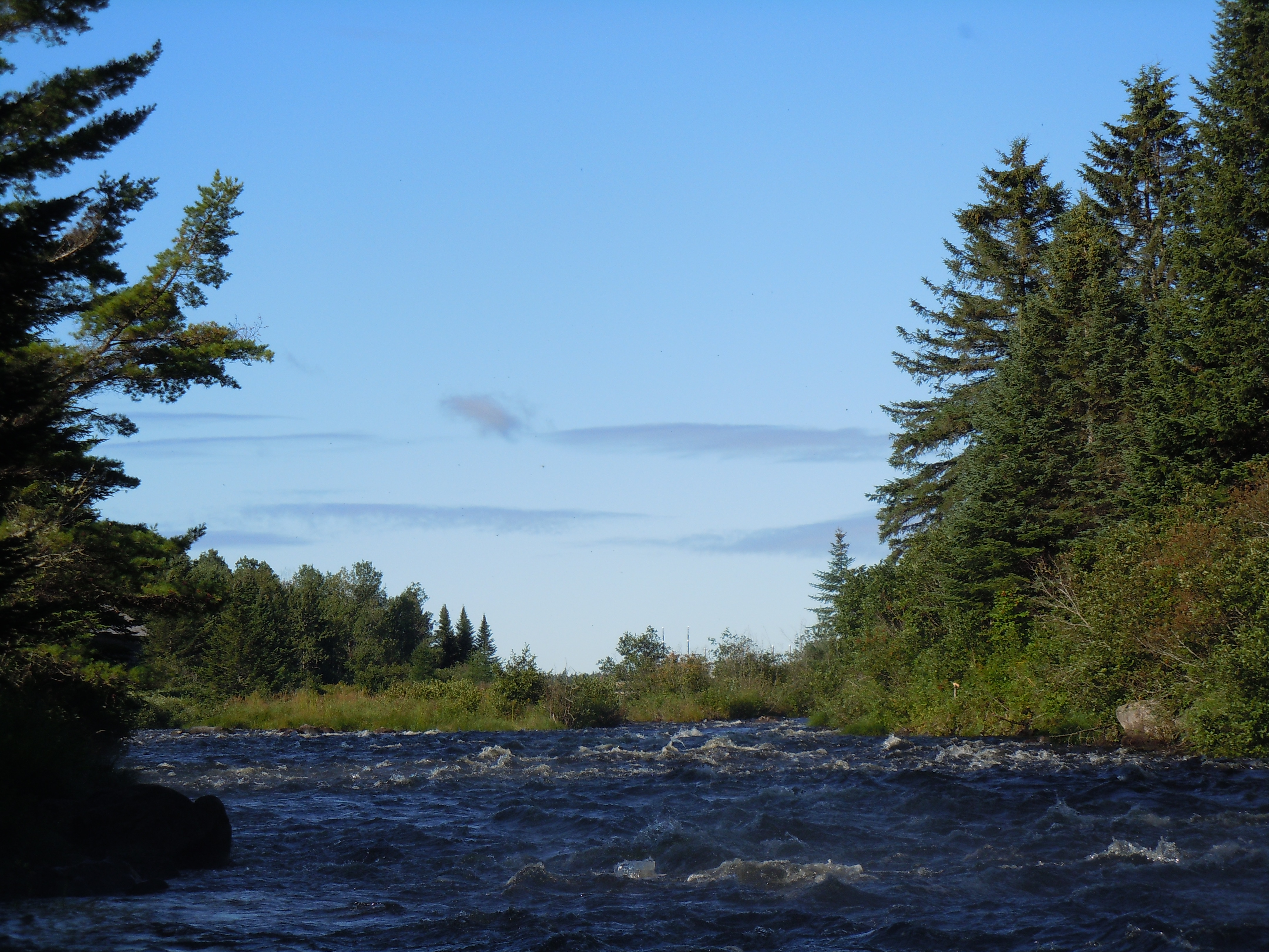
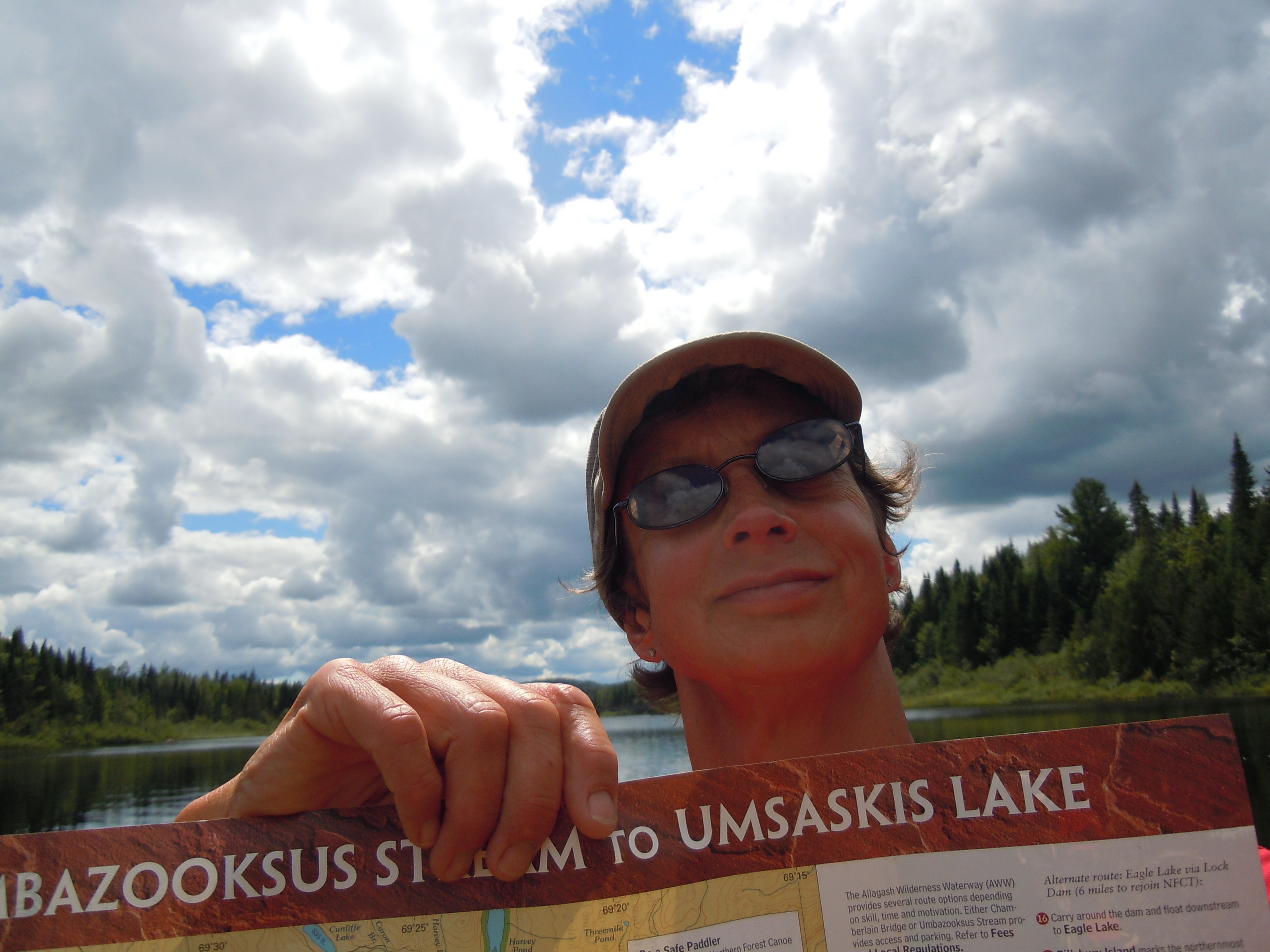
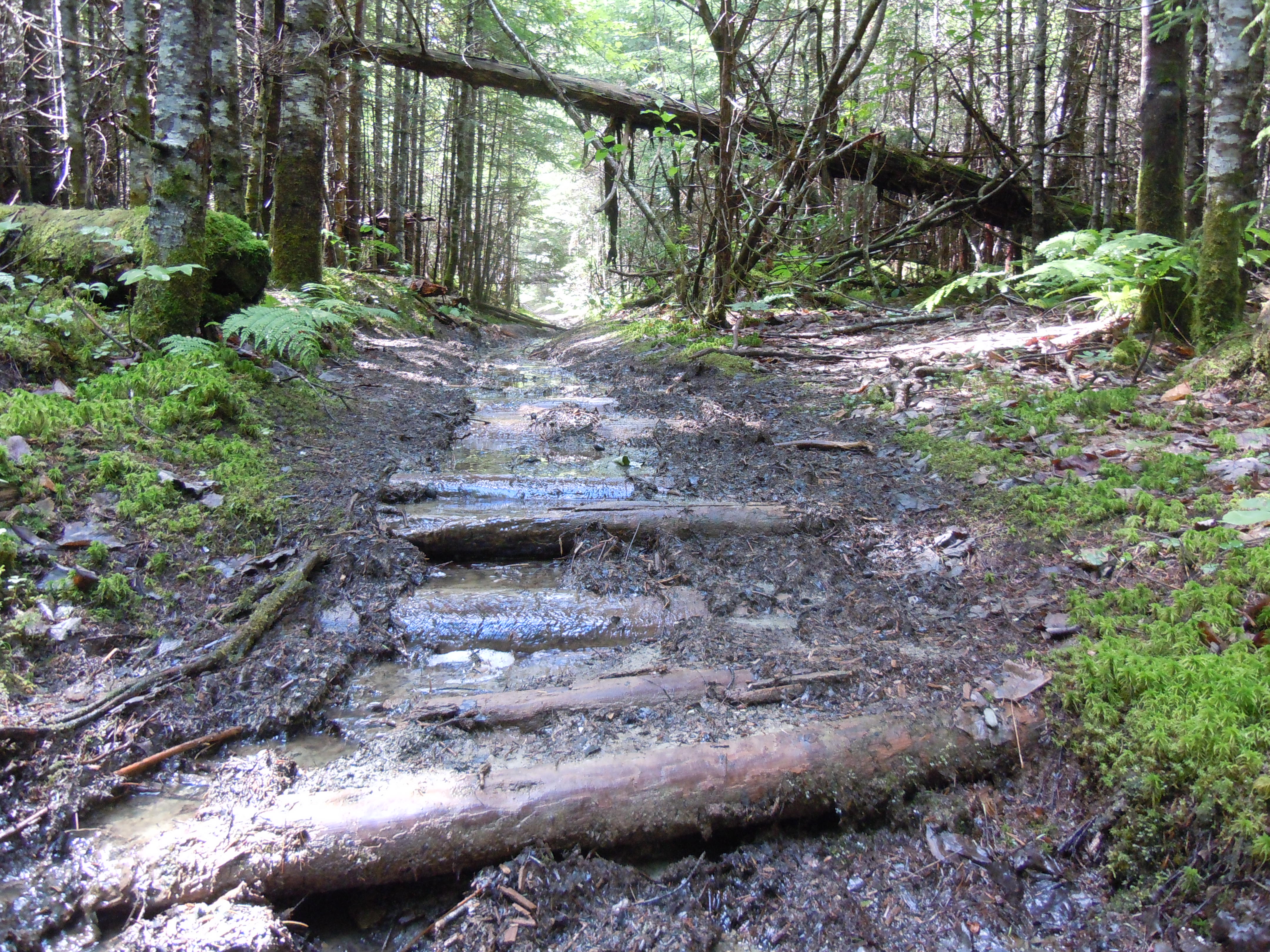
The feet of generations have worn the path deep, so that it is never dry, just clear and rocky in places and murky and mysterious in others. To reach its start, I paddled up Umbazooksus Stream against a storm-strengthened current, pulled myself under the dam through a scary trough of waves, and crossed Umbazooksus Lake to the landmark rock cairn.
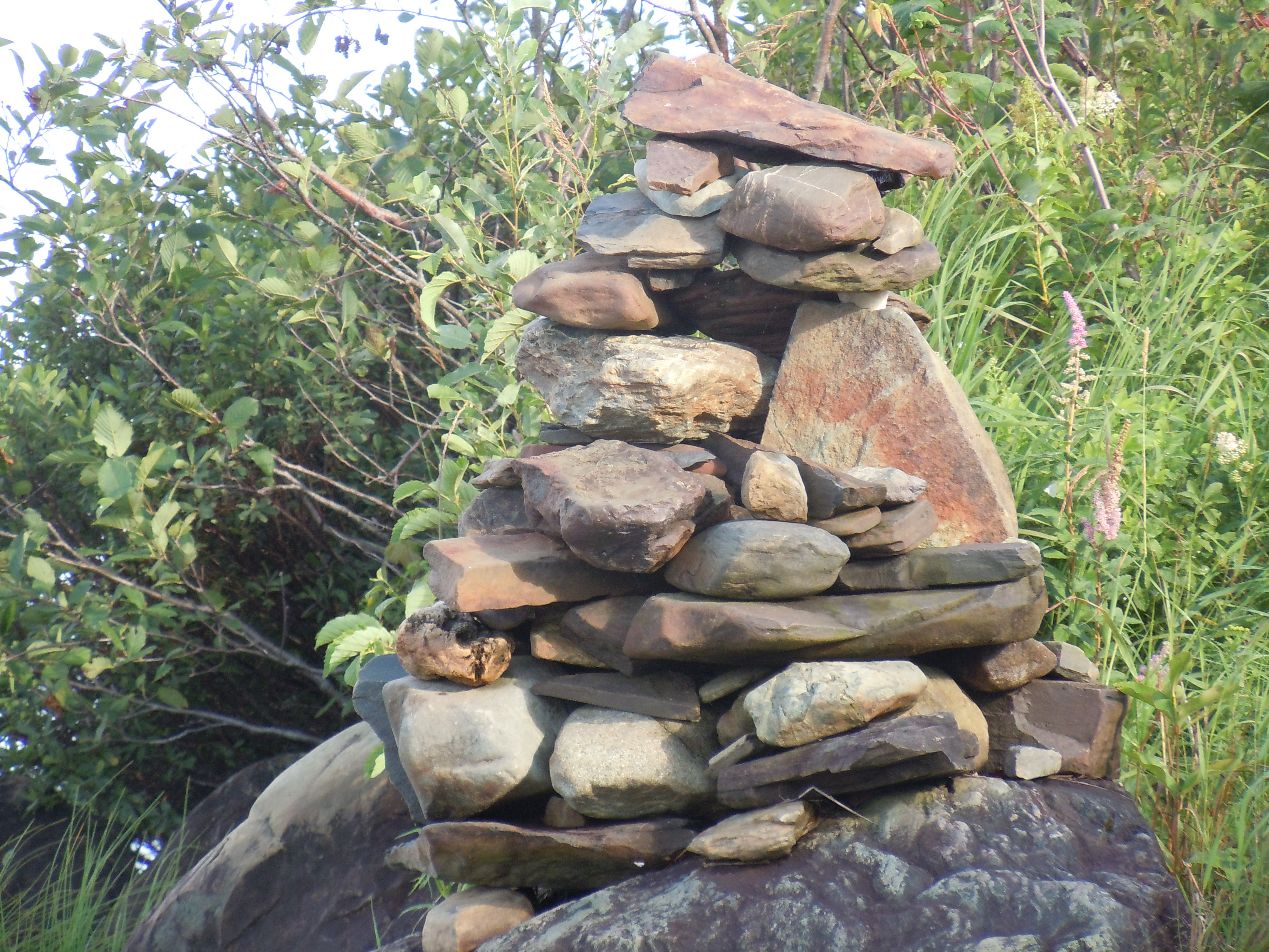
This rock cairn restored by Team Moxie in 2011 marks the start of Mud Pond Carry.After carefully carrying my canoe almost half a mile over downed trees and slippery rocks, I was then able to float it almost that same distance, at times with my gear inside!Look, I discovered a lunch spot on high ground!
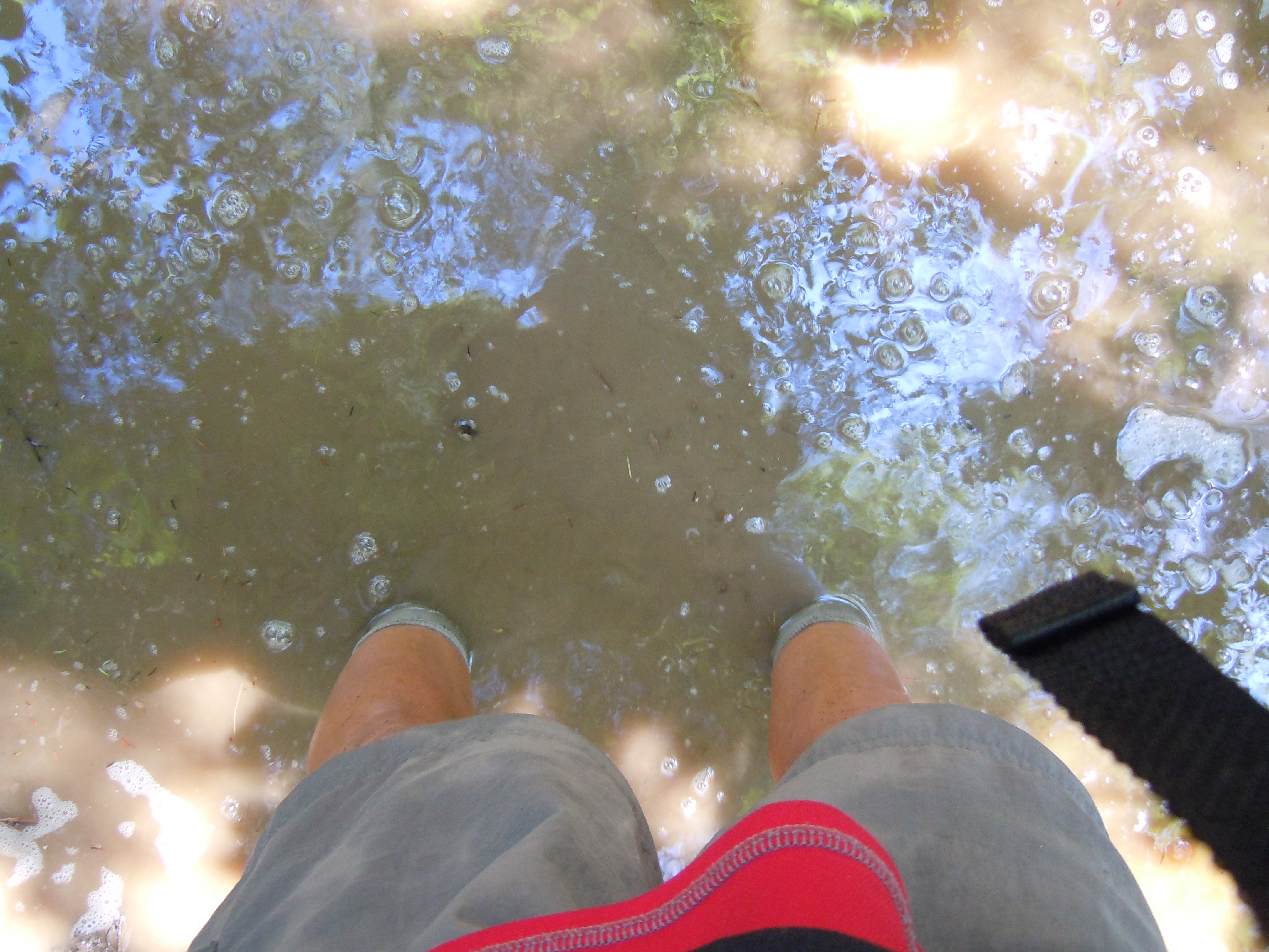
As the water grew deeper, each foot was placed with care. Invisible under the often ankle-deep murk hid rounded rocks, the remnants of an ancient boardwalk, and a deceptive bottom that might be solid for your left foot and a sucking vortex for your right. Today the portage yoke proved its worth yet again. In fact, carrying the boat was actually easier than lugging the second load’s weighty bags, trying to keep them above the mud.
The scariest moment came when my right foot suddenly slipped between two of the hidden boards, then wedged at an awkward angle. Luckily, I was slowly maneuvering bags at the time. As I wiggled it out, I shuddered, imagining the possible outcome if I had been carrying the heavy boat with a lot of forward momentum. Soon after, the bottom firmed up, the water cleared again, and I realized that, yes, I was going to make it. My count would indeed reach 2. “Did it twice, don’t need to do it again!” says this aspiring through-paddler.
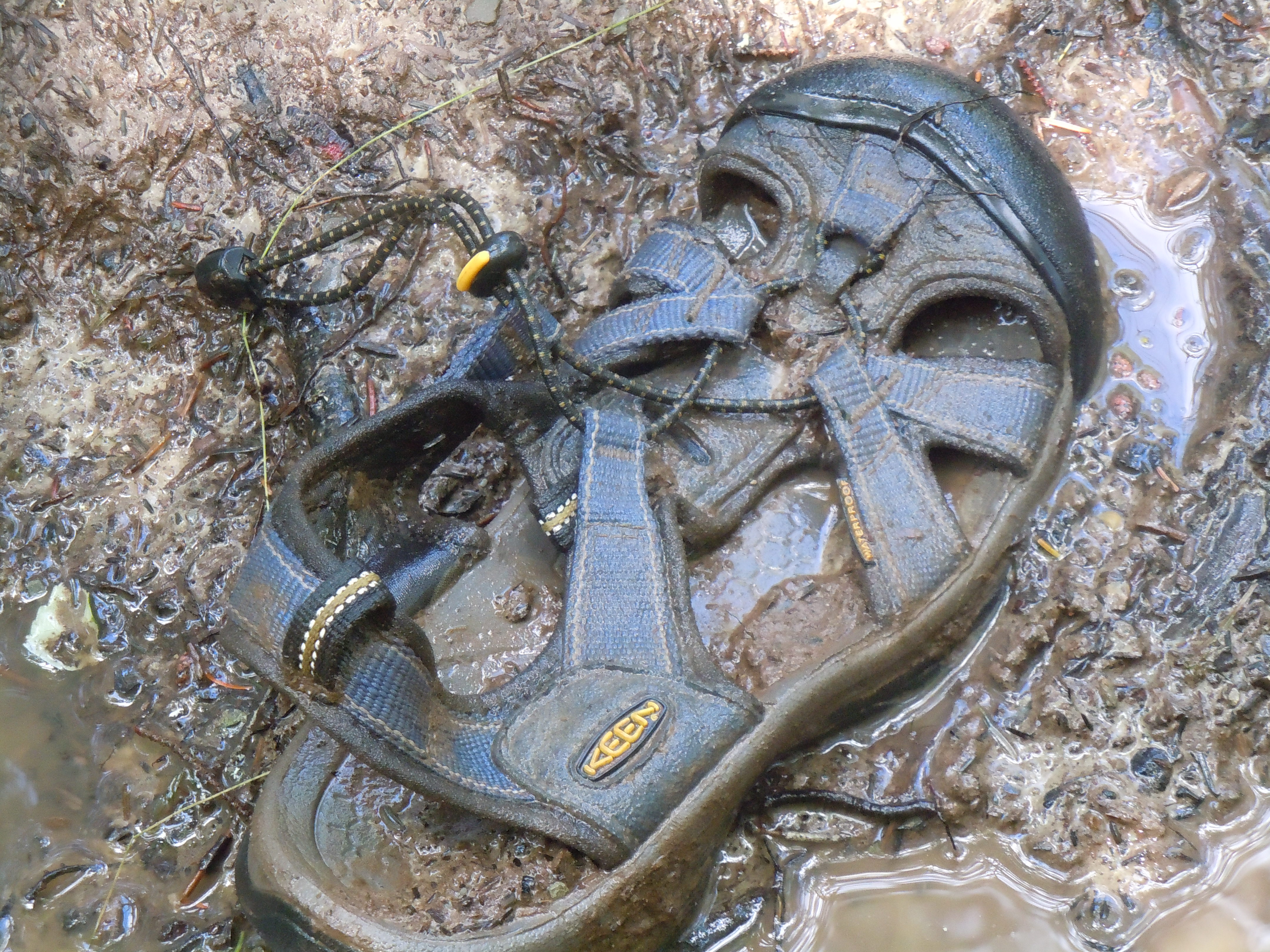
Mud is demoralizing, creepy, and uncomfortable, packing itself painfully into every crevice of your shoes.What story lies behind this orphan abandoned along the way?Remnants of the ancient boardwalk, looking back along the carry.Frogs of every shape and size inhabit the murky depths.I was pleased to reach Mud Pond after 5 1/4 hours, just in time to watch some ominous clouds skirt around me. Here I am waiting on the whim of the storm before entering Mud Brook, the fast-moving stream that leads to Chamberlain Lake.Ah, my campsite at last…a well-earned collapse, comforting warm campfire, and a perky chipmunk for company.
The croak of a raven and glow of the sunrise made for a time of peaceful writing in camp, getting me all caught up on my journaling. This meant, traveling solo, that I could pause during the day to journal: “The slow drifting of surface bubbles contrasted with the swift darting of the swallows, as they skimmed just inches from the water. It was the last of that shadowed time before the bright sun illuminated all.”
A new day reflected in the peaceful waters of the West Branch of the Penobscot
Not many others were on the river, but I visited several times with a young family in a canoe and kayak, telling them that I hoped that they would see a moose. The young boy excitedly explained that anyone who spots an animal gets ice cream. I heartily approve of that rule!
A bald eagle circling in the growing wind was the extent of the wildlife and, by the time I reached Boom House near Chesuncook Village, the conditions kept my mind fully occupied. Chesuncook Lake, which I would cross at its northern end above Gero Island, is usually windy and choppy. “We’re in for a wild ride,” were my parting words to the family with kids, who were heading down the length of the lake.
At first the wind was a friendly, ferocious force at my back, then a confusion of waves as I entered the lake and saw that glorious view of Katahdin and its neighbors far to the south. Then the waves were fighting me for control of my boat. I safely passed the comforting Graveyard Point, paddling for the most part into the powerful waves at an angle, first toward the north shore, then toward Gero Island to the south. Where would I camp? Where could I reach? Well, the wind answered that for me, finally just turning my boat broadside to the waves as my arms grew weary and scooting me along, thankfully close to the shore of Gero. It felt safe, if a bit funny, to be simply along for the ride.
Whitecaps race across the top of Chesuncook Lake, as seen from the protection of Gero Island.
Well, the excitement wasn’t over yet. After lunch on a comfy log on the lee shore beach of Gero Island, I braved the wind anew to cross into the arm of Umbazooksus Stream, which stretches north above the lake, funneling the waves, this time in my direction of travel. Staying near the west shore of the arm, I surfed with abandon, luckily having success aiming straight for Umbazooksus West campground, somewhat unusual with its road access and longterm RV residents. I daydreamed that they were all in awe, watching my perilous journey to join them.
When I got there, the campground was deserted, the RV’s mute as to my paddling prowess. This also meant there was no one there but me to see my empty boat, pulled fully up on the gravel beach, be picked up by the wind and deposited in the lake. Boy did I ever drop my last load of gear and run, catching the skidding boat by one hand in waist deep water! I will let the photos below tell the rest of the tale. Tomorrow…Mud Pond Carry…
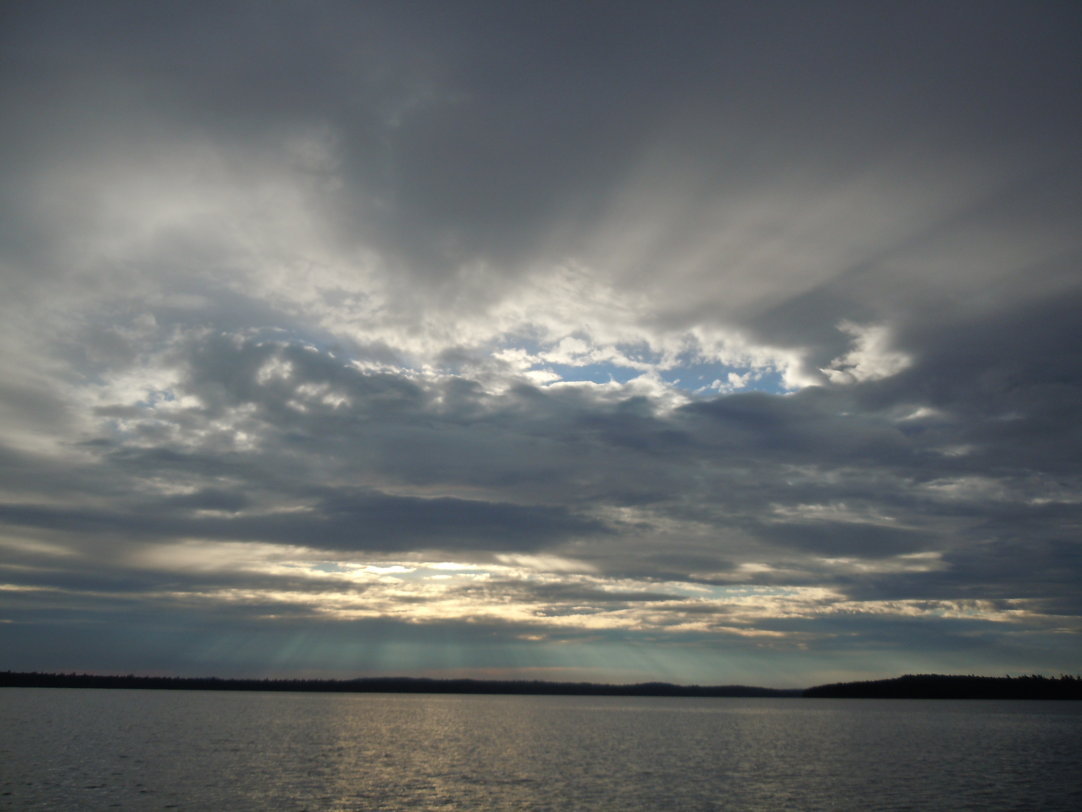
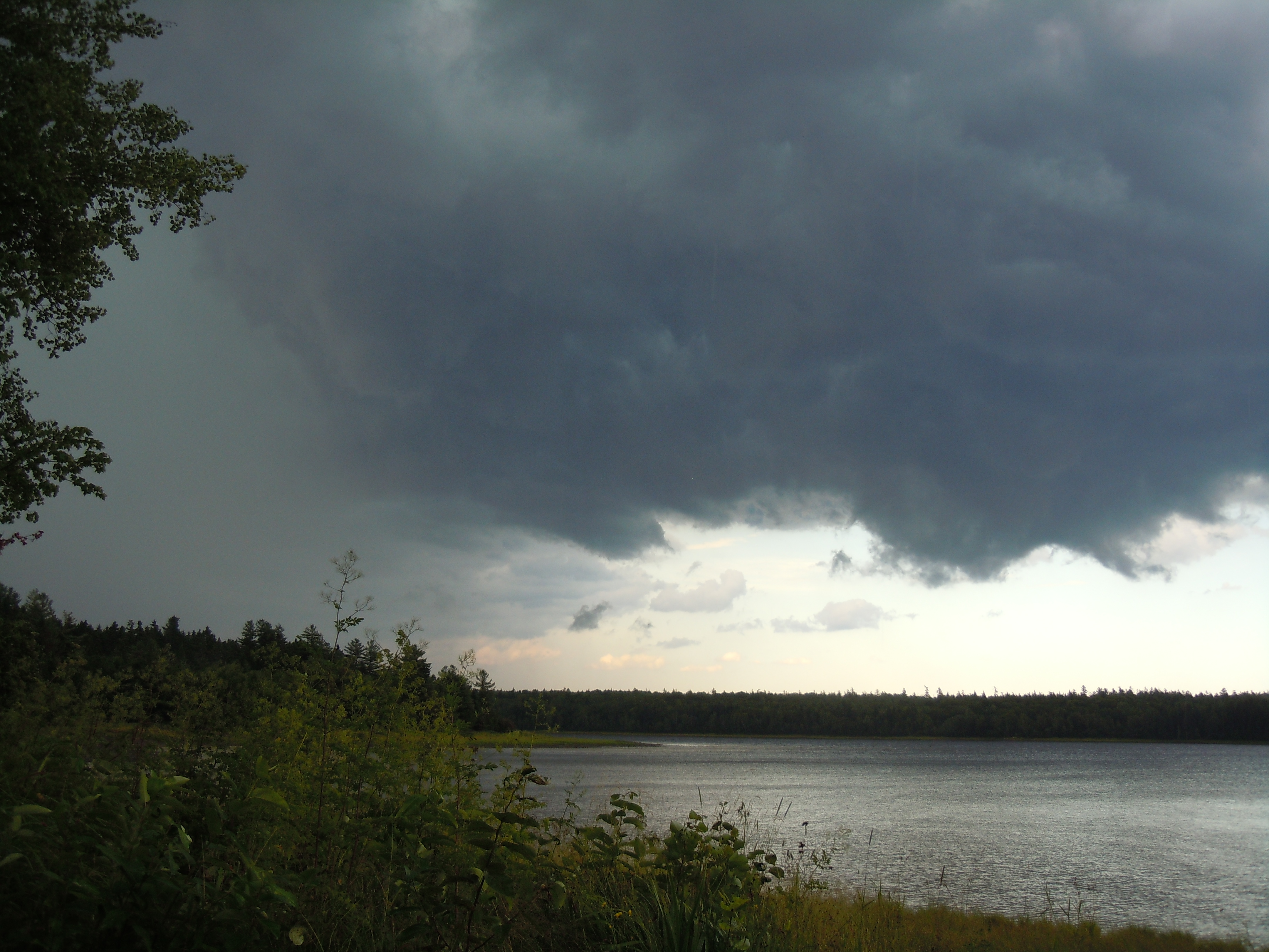
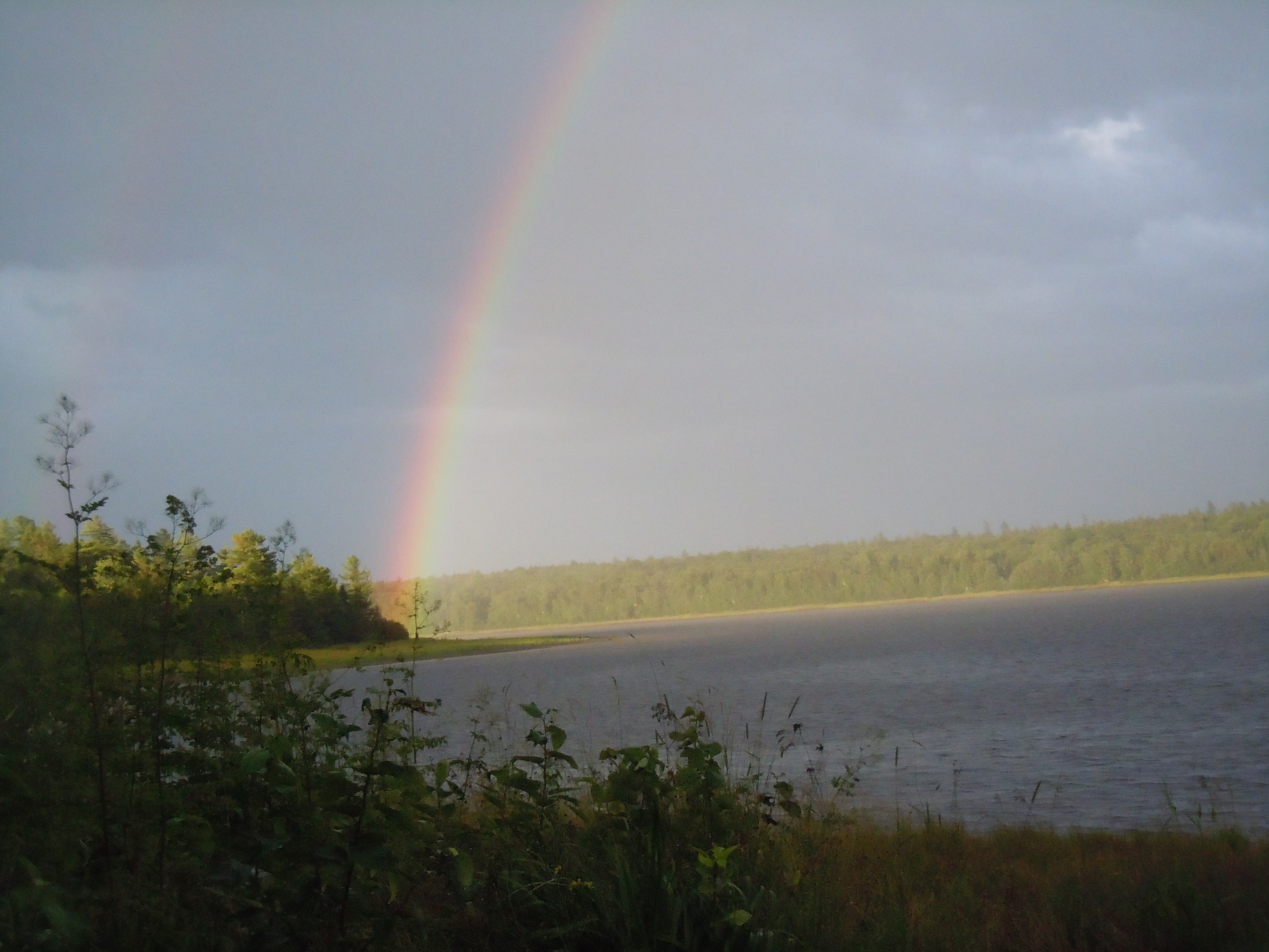
Today gave new meaning to the term “unsettled weather,” as I experienced gusty winds, warm sunshine for swimming, violent thunderstorms, pea-sized hail, and drenching downpours.And a rainbow, viewed from inside my tent.
Goodbye, Eagle Mt., watch over our special cove until life brings us here once more. A glorious sunny day with the wind at our backs meant a quick trip to Northeast Carry, where I would say farewell to all of my family until reaching Allagash Village in 8 or 9 days. Mom and Dad arrived after spotting their second moose of the summer on the Golden Road, ready to take possession of my wheels and an overabundance of food that I had sorted out that morning.
The view approaching Northeast Carry, which is one of two arms that reach upward at the north end of massive Moosehead Lake. Traveling up the eastern arm, the cluster of buildings on the left is your landmark.
Northeast Carry is home to Raymonds Country Store, where Ed and Shirley Raymond are anchors in the remoteness of the north Maine woods. It was Shirley who taught me years ago the philosophy that kept me squatting on a log for hours with a boy from Brooklyn on the Raquette River. “Up here, if someone needs help, you help, even if the person is your enemy.” Shirley also makes a yummy cheeseburger and has the last groceries for many miles, although Ed reported that their store in now closed two days per week due to their various medical appointments. (For some reason, Shirley had decided that they weren’t grilling today, so I actually had cheese and some delicious nutty rice crackers with my iced tea, followed by a nice fresh donut.)
My soul is relaxing…only the challenge of Mud Pond Carry lies uncertainly ahead…otherwise, the shining path of the river beckons me to drift downstream in my own time, savoring the last days of solitude and discovery.
In many ways, the West Branch of the Penobscot River is like the Allagash Wilderness Waterway, in its scenery, wildlife, and management. Passing under the bridge at Hannibal’s Crossing seemed the threshold of the wilderness. An eagle soared from a spruce above, the clarity of sound bringing the squeak of wings against air, squeakiness not being an adjective that I had ever associated with an eagle before.
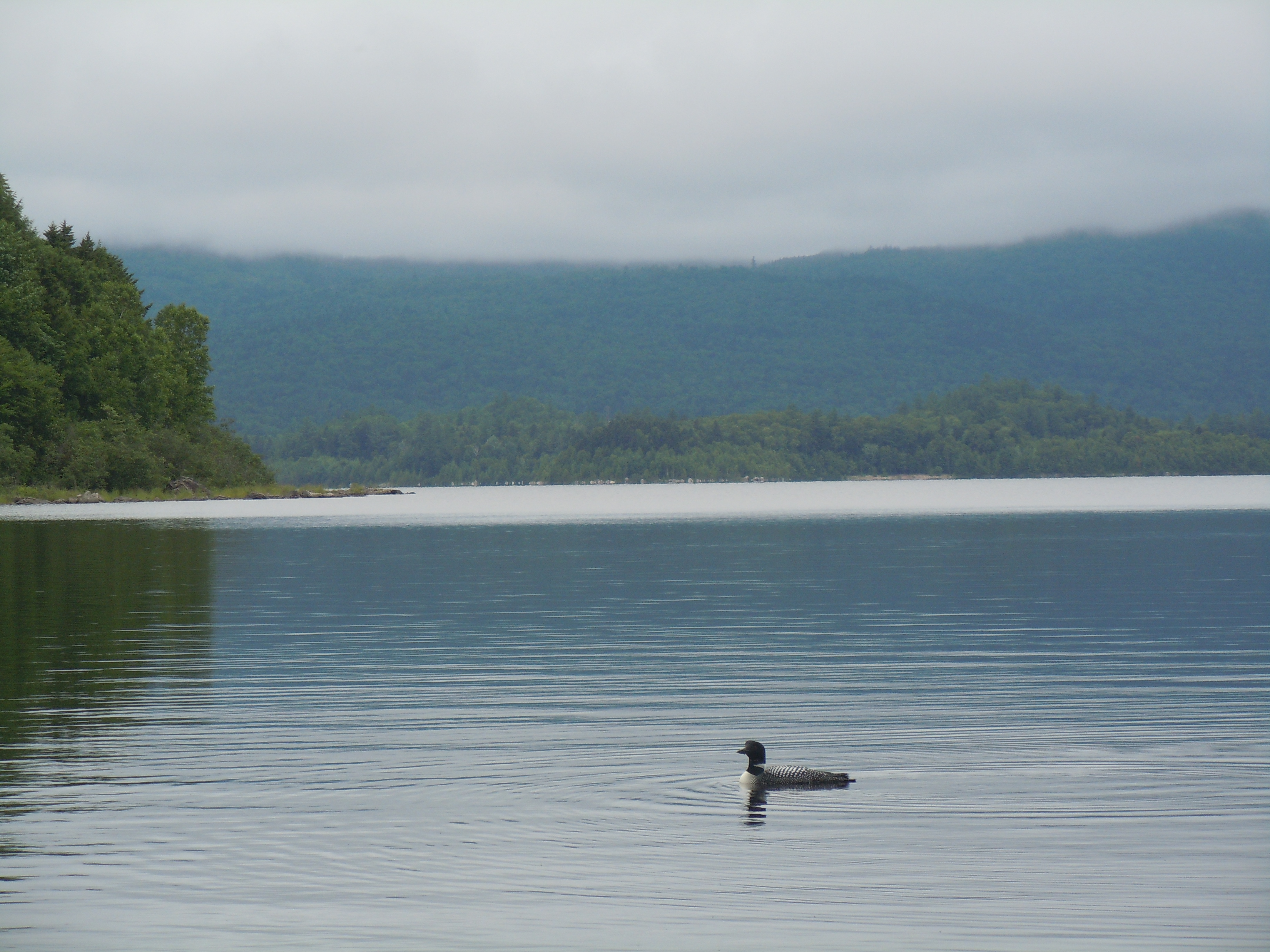
In the water, a cormorant may be mistaken for a loon at a distance, but they are more often spotted sunning on a rock or log or taking flight, which loons rarely do.
I was headed for Lone Pine, a small campsite on river right with a quaint handmade table, pleasant views up and down the river, and, most of all, the comfort of familiarity. You know how you walk into a college classroom on the first day and choose a seat at random? And then return there for every class, month after month? That’s Lone Pine for me, in spite of the hike to the outhouse, across board bridges beside a parade of moose tracks. This year I found many trees blown down and the work of clearing them up still in process, but I still loved being back in my “familiar seat,” gathering wood, chilling my little box of white wine in the river, and hanging my food bag from the ridgepole over the picnic table…a great feature of these campsites.
Pondering life while watching the ever-changing dance of the campfire…happily, I had added my folding saw to my gear not long ago. Above, the lovely moon still graced the clear, dark sky beyond the firs.
John Willard, owner of The Birches, helped create the NFCT and always cheers me on with my paddling adventures. If you ever visit, be sure to go up for a float plane ride with John and see where you have (or will) paddle from the clouds.
One luxury of through-paddling is working off what you eat, even when it is a stuffed omelette, English muffin and jelly, and The Birches “small” orange juice, which is not small. Mom waved farewell to the rest of us after breakfast. Dad would paddle the seven miles around Farm Island and Sue and I were headed to a beautiful cove where we had camped before, an easy day. Easy, that is, as long as you arrive before the wind gets up and find an empty campsite.
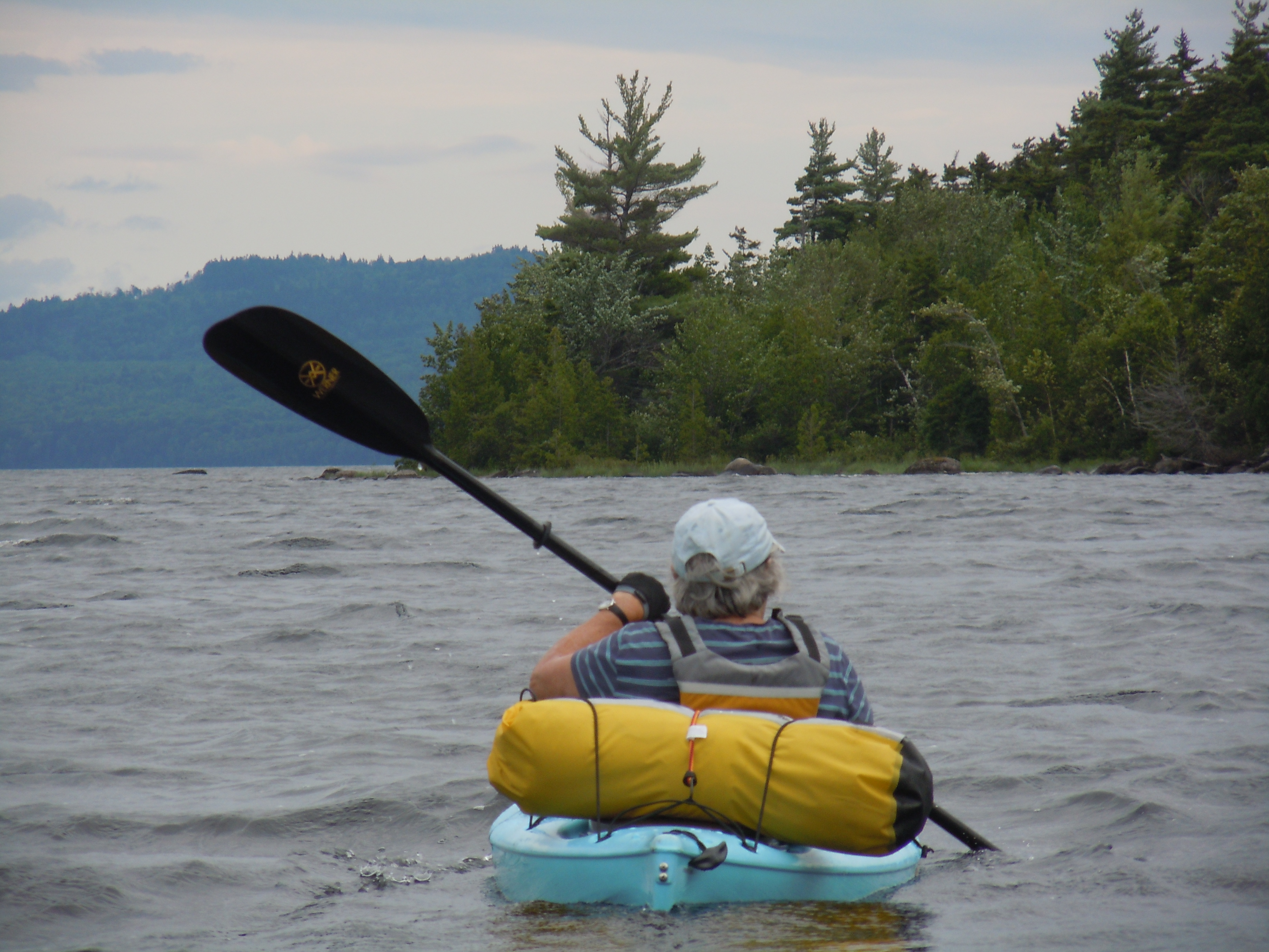
My aunt, Susan Sefcik, shares my love of the outdoors and, like me, has been venturing out on some solo trips. She joined me for the miles on Moosehead Lake, camping in Big Duck Cove, then stayed for a few extra days, braving some hearty winds along the way.
Paddling strong, we made good time, to discover one of our two favorite back-to-back sites free. We were on the protected back side, helpful indeed when the wind blew whitecaps down the length of the cove later that afternoon. Lazy hours in camp to gather wood, watch a red squirrel scamper past our tents with a furry bundle of baby in her mouth, then dabble our feet at water’s edge with a crayfish and minnows for company. It was a bit cold for swimming, though, and we were glad to layer up after a quick dip. Family togetherness in the great outdoors!
Sue loves to cook and I love to eat…with my appetite being especially well-developed at the moment. Dinner was turkey stir-fry with a multitude of fresh vegetables and the anticipation of pancakes and bacon tomorrow morning.I love to cut firewood and Sue loves campfires…here is our tidy camp on the cove.
On Tuesday, August 11, I paddled into Fort Kent on the St. John River, completing my solo through-paddle of the Northern Forest Canoe Trail in 53 days.
Yesterday, after a long (30.8 miles) and damp day, Dad and I passed under the international bridge on the St. John, reaching the eastern end of the NFCT. My GPS total reflected 749.7 miles. With God’s grace, I had covered every mile unassisted. It felt unbelievable.
I think my numb, white fingers and shivering self tempered some of the emotion of the moment, but I still felt ready to cry. So many days of beauty, danger, kindness, and endurance were coming to an end. A dream, that once seemed beyond all reach, would now become a treasured memory.
To all of you, who cheered me on and supported me in infinite ways, please know that you were with me in that special moment and you will always be part of the story of NFCT 2015 for me!
(I hope to write up the rest of the days, with many photos, while it is all fresh in my mind).
My aunt Sue Sefcik, my father, and I paddled up to Baker Brook before our French toast and bacon, in the hopes of spotting a moose. They were also glad for the miles, as they will each be paddling with me on two of the remaining days, Sue on Moosehead and Dad on the St. John River. I stopped to check out the NFCT Baker Brook campsite on the way.
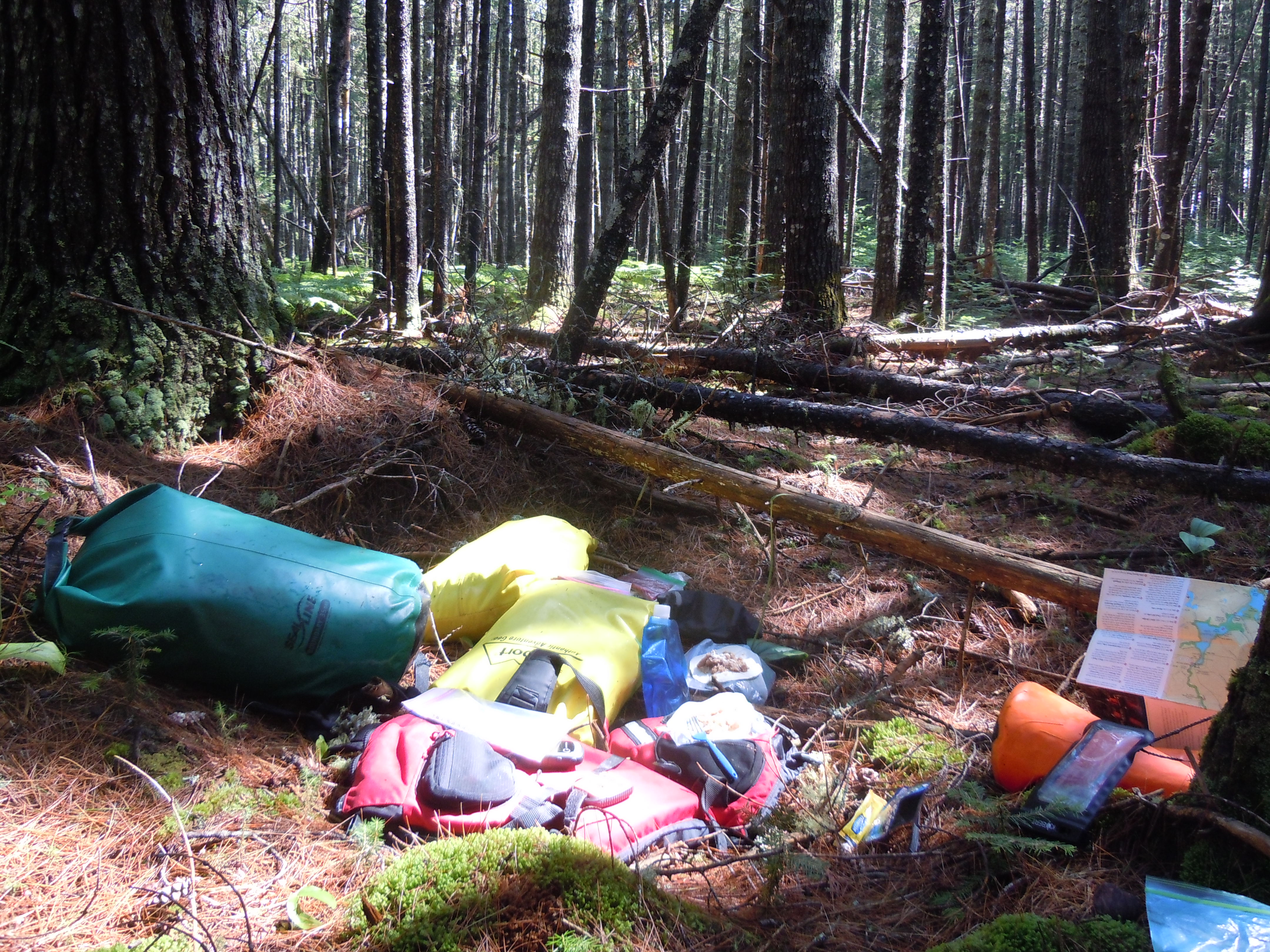
The rest of the day was restful and rejuvenating – swimming, the hot tub, reading, and a trip to Greenville for some shopping and more. I even bought a book to take, which I will surely appreciate on Mud Pond Carry! (My food supplies have also filled an extra small dry bag.)
Friends Ken Dale (also our pastor) and his wife Kathy Malatesta treated us to dinner at Kelly’s Landing. The fish fry special with salad bar was a wonderful finish to a restful day. Thanks again, Ken and Kathy!
The last three maps of the NFCT will take me across Moosehead Lake to Northeast Carry, up the West Branch of the Penobscot into the Allagash and then on to the St. John and Fort Kent. There may be a chance for one more post, but probably not.
This will be a time for reflection, writing, and photography, and I promise to journal well and finish sharing when I get home. To each of you faithfully reading along, heartfelt thanks for the multitude of ways you have all generously helped me along the river (or the road)!
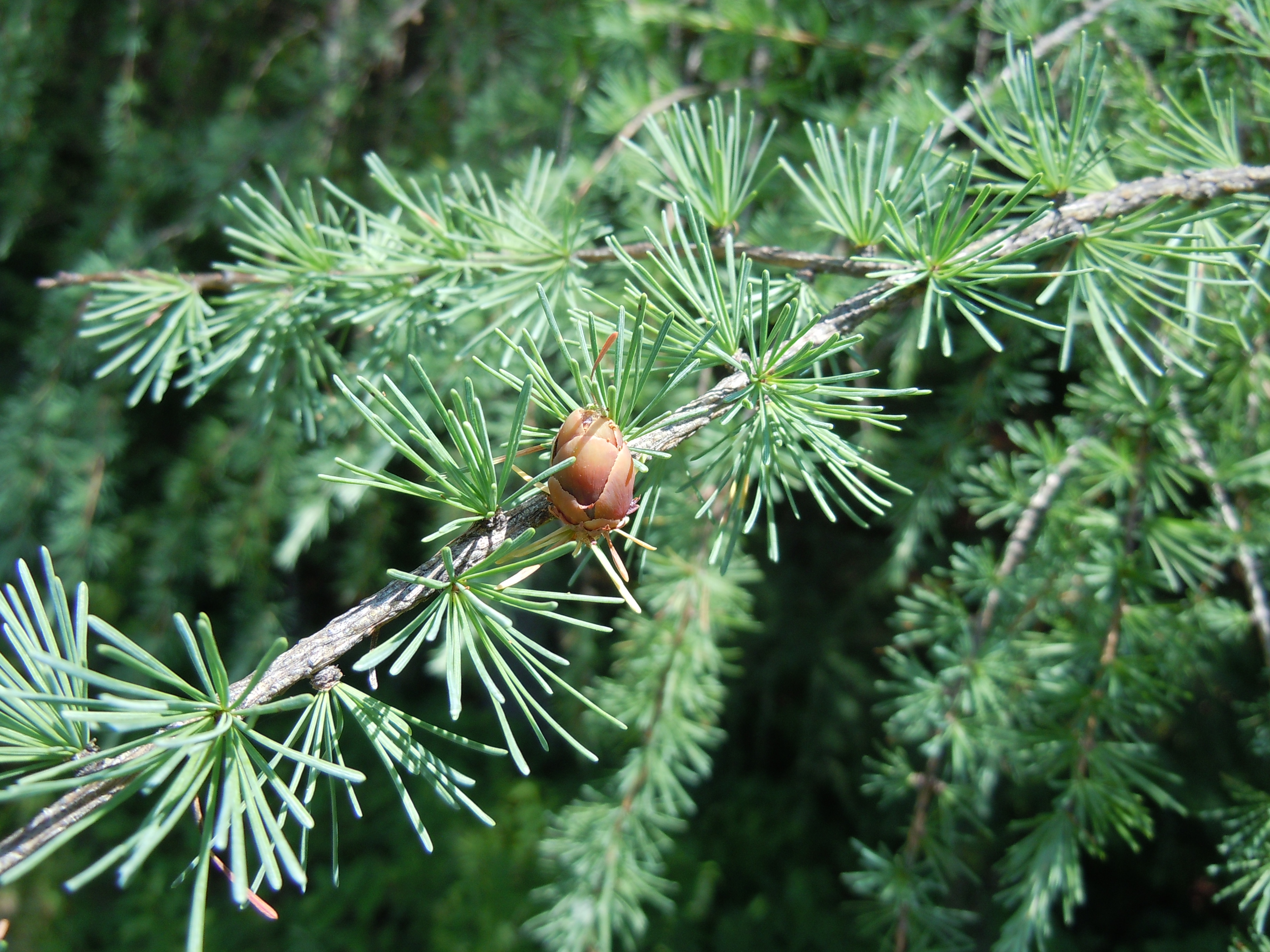
Hi Becca and Jess…still grateful you shared your campsite on a stormy nightPaul and Janie Hartman by the Maine guideboat on display along the Oquossuc Carry Rd.Loved these layers of birches along the shore of Flagstaff LakeRapids on Little Spencer Stream challenged my enduranceThis loon welcomed me to misty Spencer Lake…I was so grateful to see those open waters after a huge day of battling upstreamAlong Spencer Rips Rd., I saw tamarack, a conifer that loses its needles in the winterSpectacular Moose River scenery punctuated by many massive glacial erratics