

Everyone knows exactly how many times they’ve done it – usually either once or never. “Done it once, don’t need to do it again,” was one through-paddler’s assessment. (Although I once talked with an Allagash ranger whose count was 9.) Would mine reach two today? Twice traversing the treacherous 1.9 miles of Mud Pond Carry, the historic gateway to the Allagash?
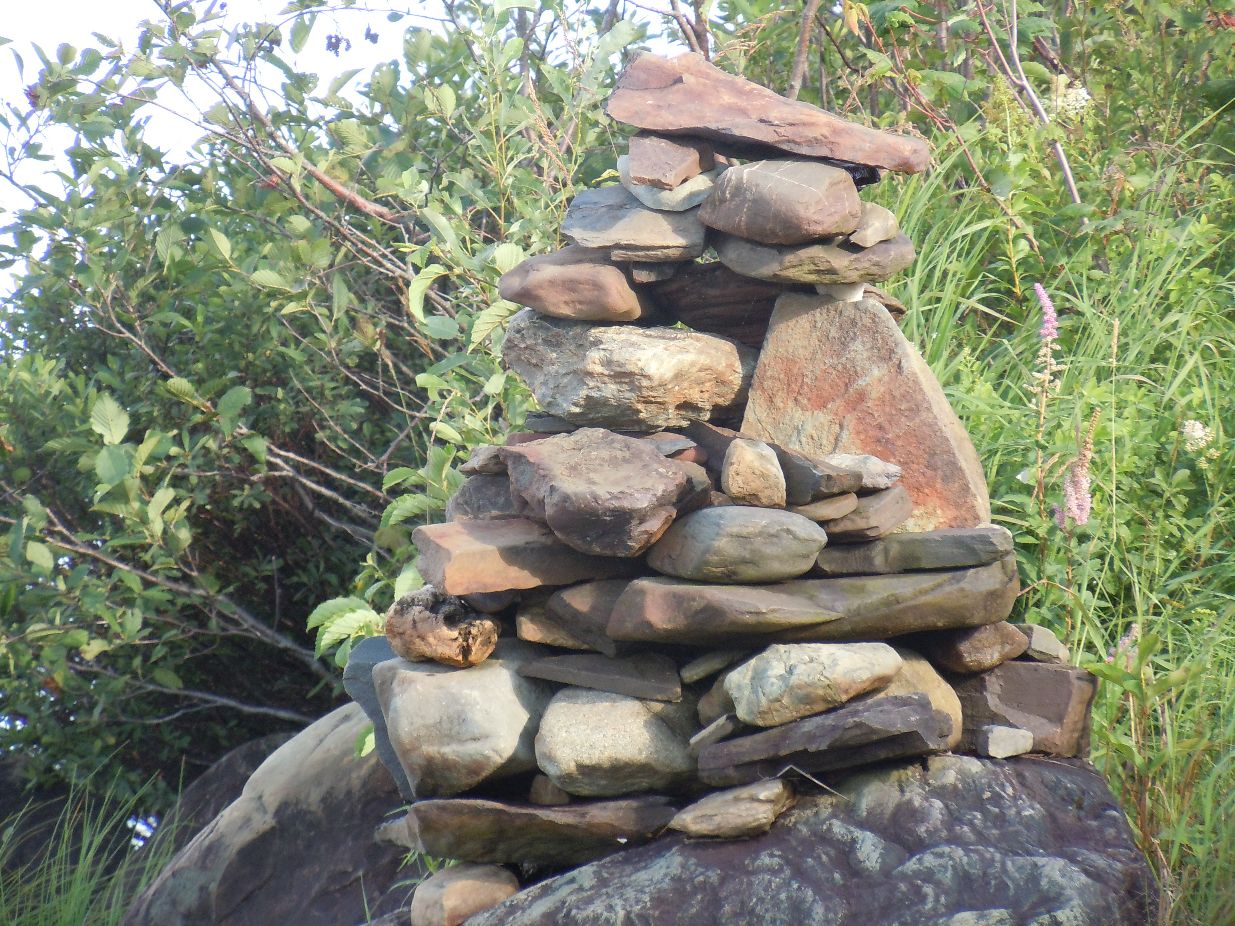
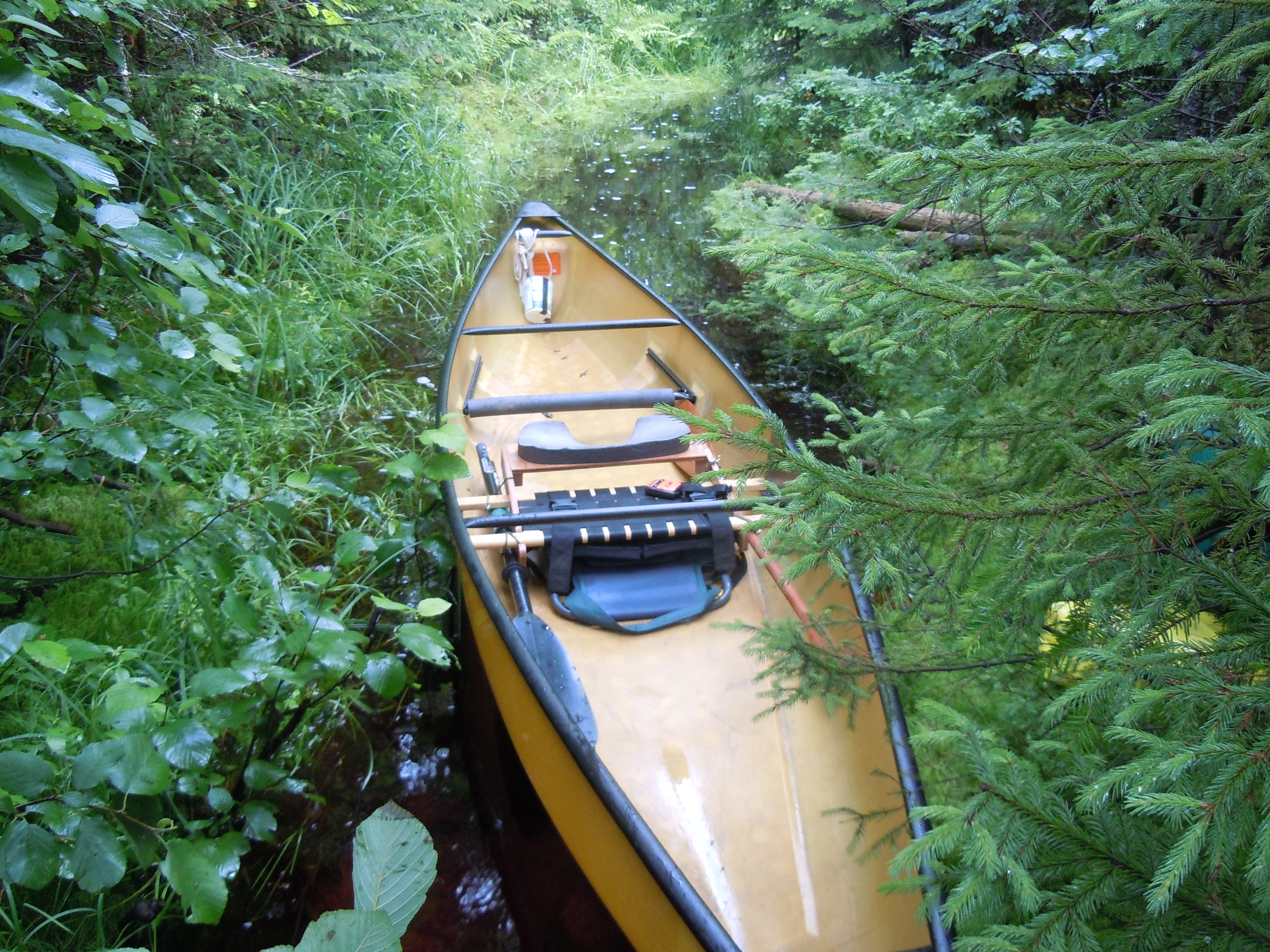
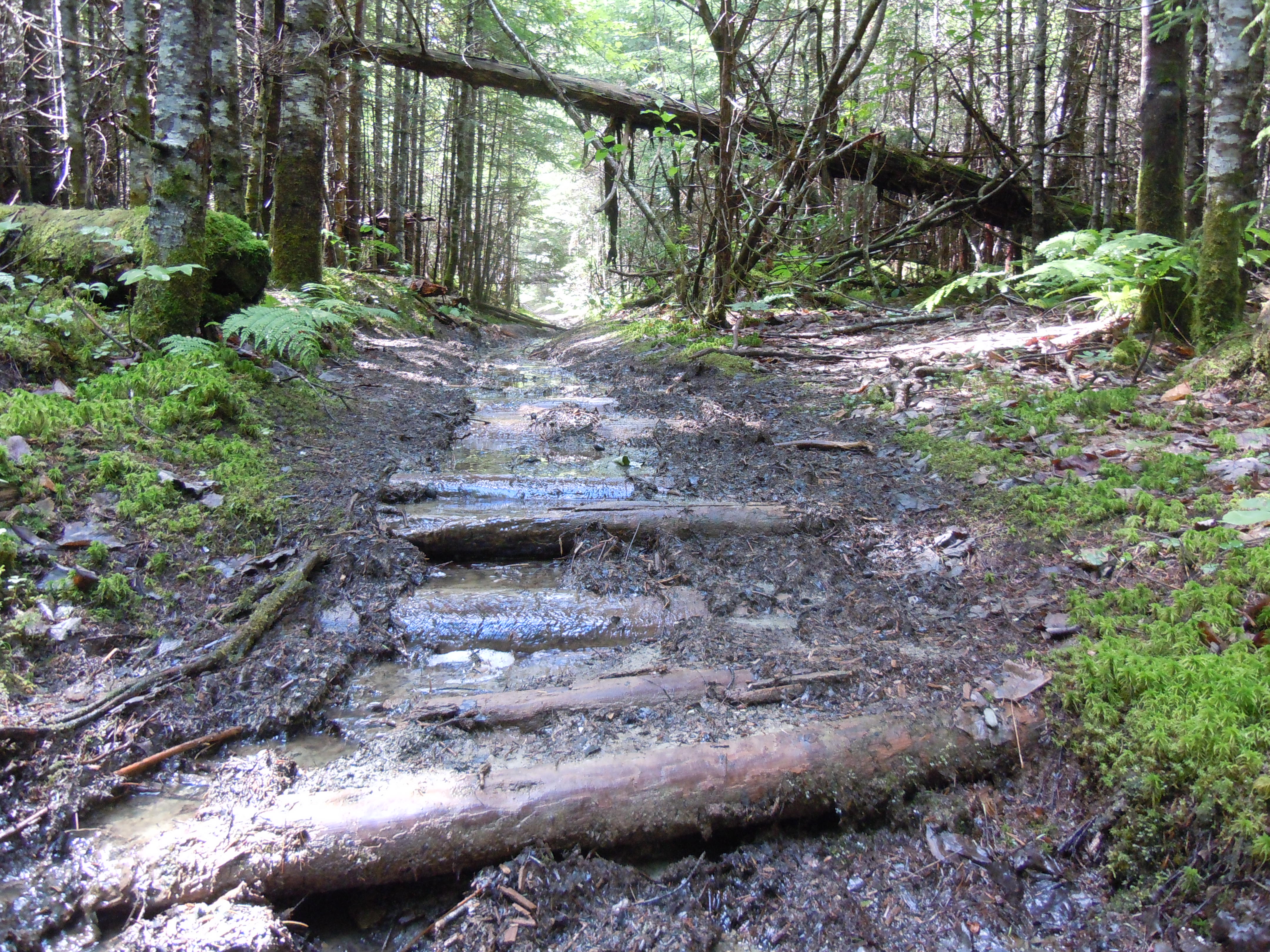
The feet of generations have worn the path deep, so that it is never dry, just clear and rocky in places and murky and mysterious in others. To reach its start, I paddled up Umbazooksus Stream against a storm-strengthened current, pulled myself under the dam through a scary trough of waves, and crossed Umbazooksus Lake to the landmark rock cairn.
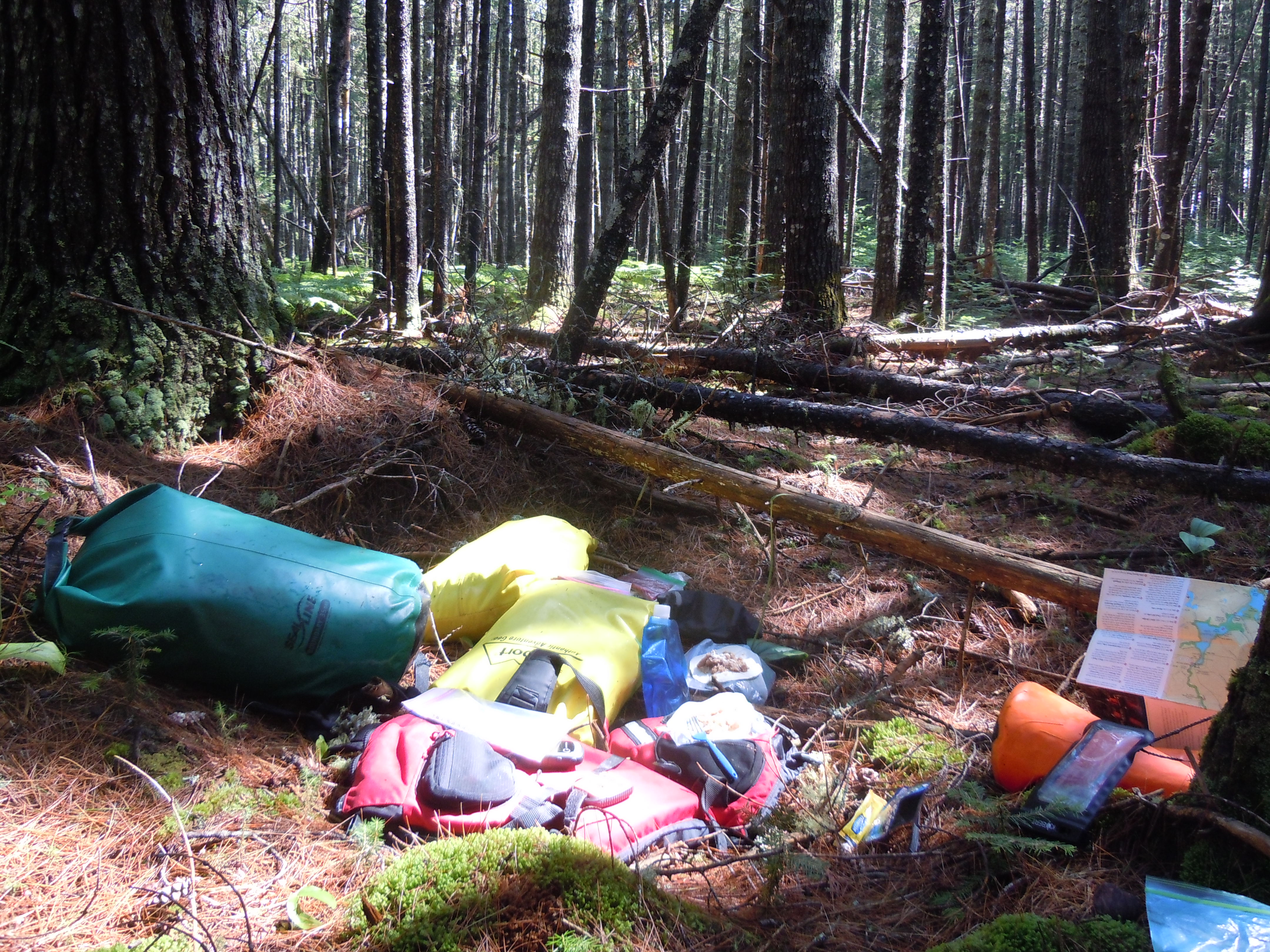
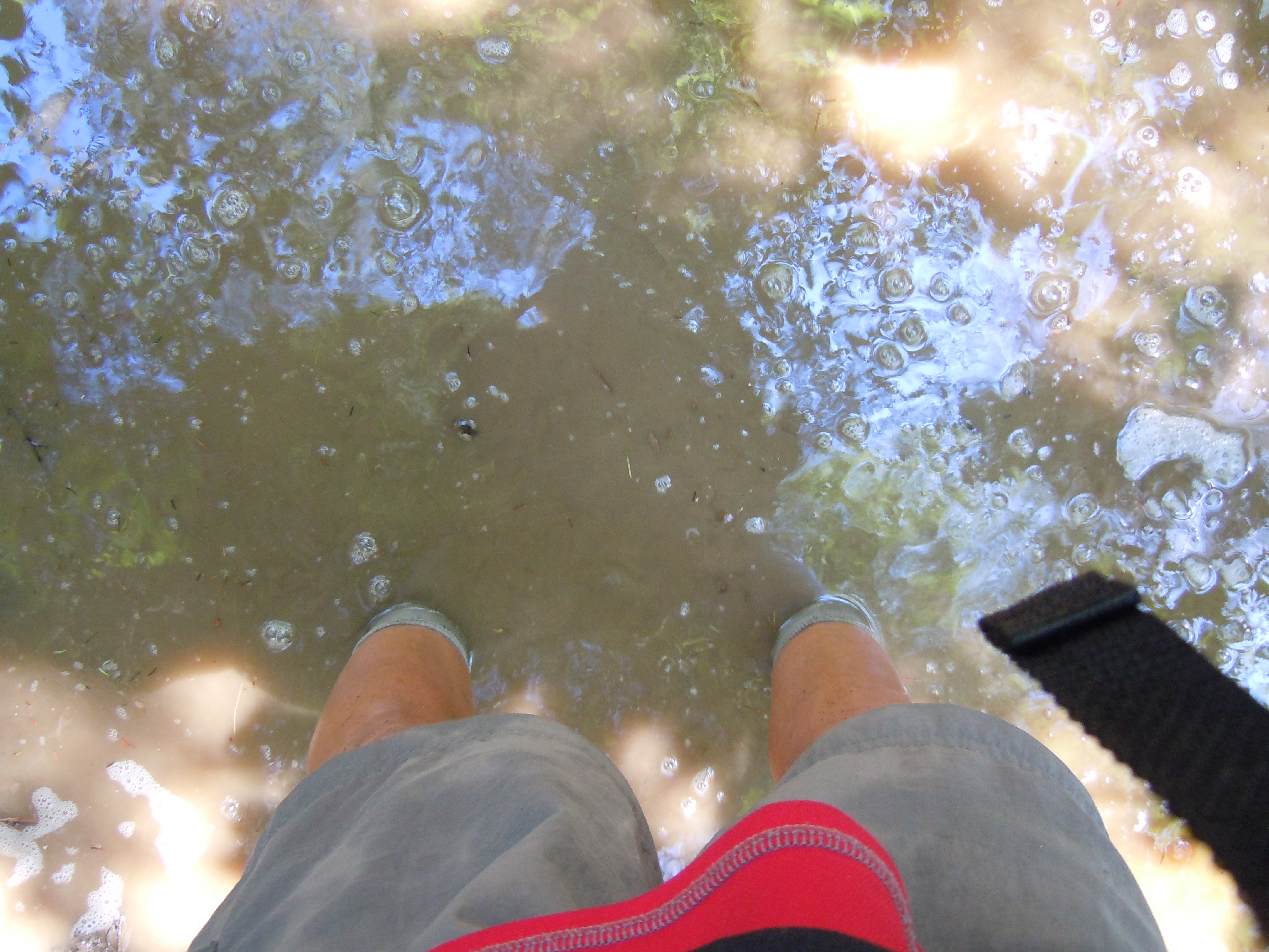
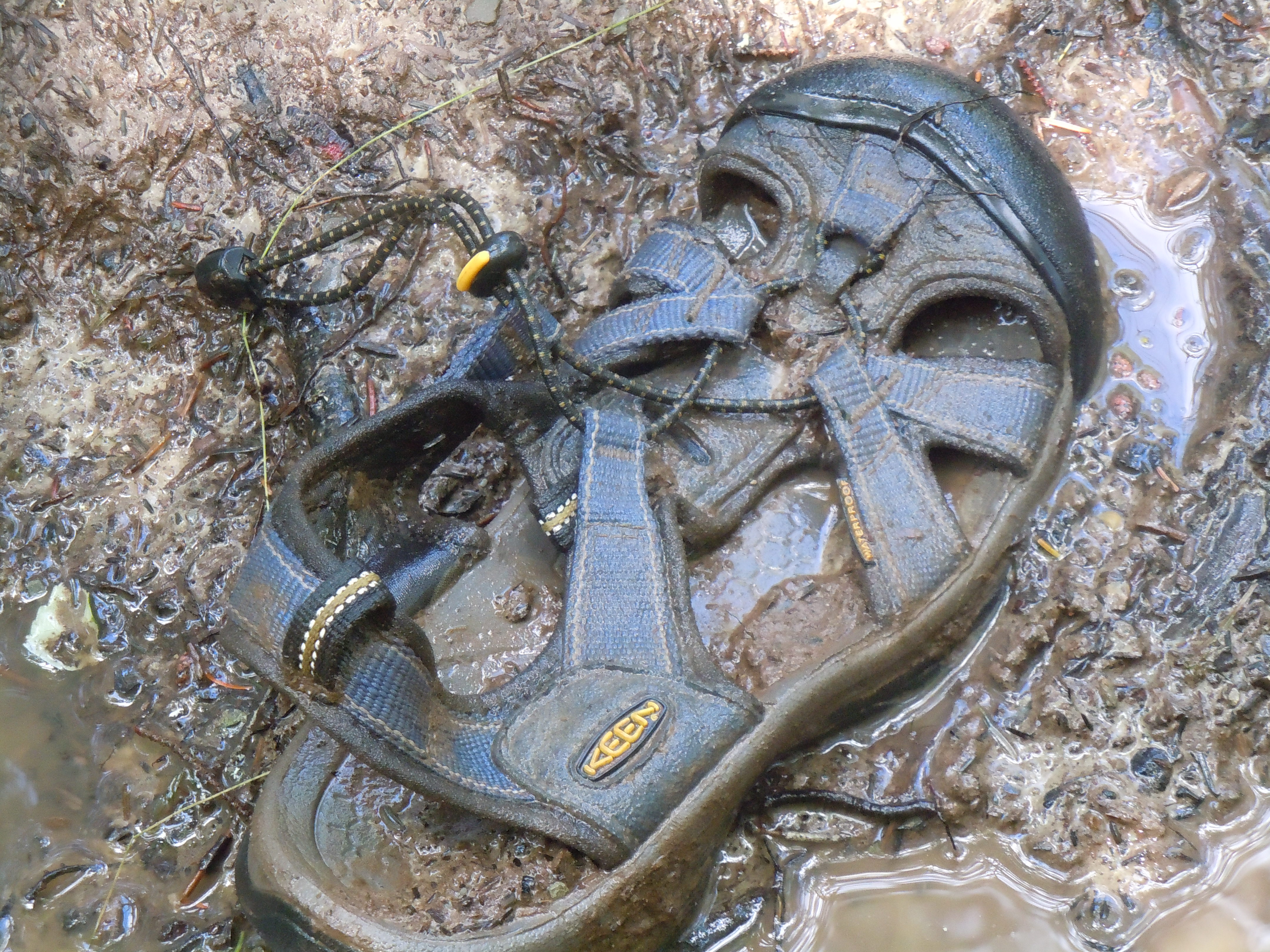
As the water grew deeper, each foot was placed with care. Invisible under the often ankle-deep murk hid rounded rocks, the remnants of an ancient boardwalk, and a deceptive bottom that might be solid for your left foot and a sucking vortex for your right. Today the portage yoke proved its worth yet again. In fact, carrying the boat was actually easier than lugging the second load’s weighty bags, trying to keep them above the mud.
The scariest moment came when my right foot suddenly slipped between two of the hidden boards, then wedged at an awkward angle. Luckily, I was slowly maneuvering bags at the time. As I wiggled it out, I shuddered, imagining the possible outcome if I had been carrying the heavy boat with a lot of forward momentum. Soon after, the bottom firmed up, the water cleared again, and I realized that, yes, I was going to make it. My count would indeed reach 2. “Did it twice, don’t need to do it again!” says this aspiring through-paddler.


TOTAL MILES: 629.4

In general I am opposed to cairn building but in this case there needs to be one. The height of land is a beautiful spot I spent some time there observing a spruce grouse. I triple carried it, does that count as only one trip?
LikeLike
Hey, then I could have five trips and you could have three. I like it! And a spruce grouse…I didn’t see or hear any grouse this trip.
LikeLike
Guts. You got ’em!
LikeLike