Dad capsized. I dropped our camera in the water. Not a promising start for a 27-mile day.
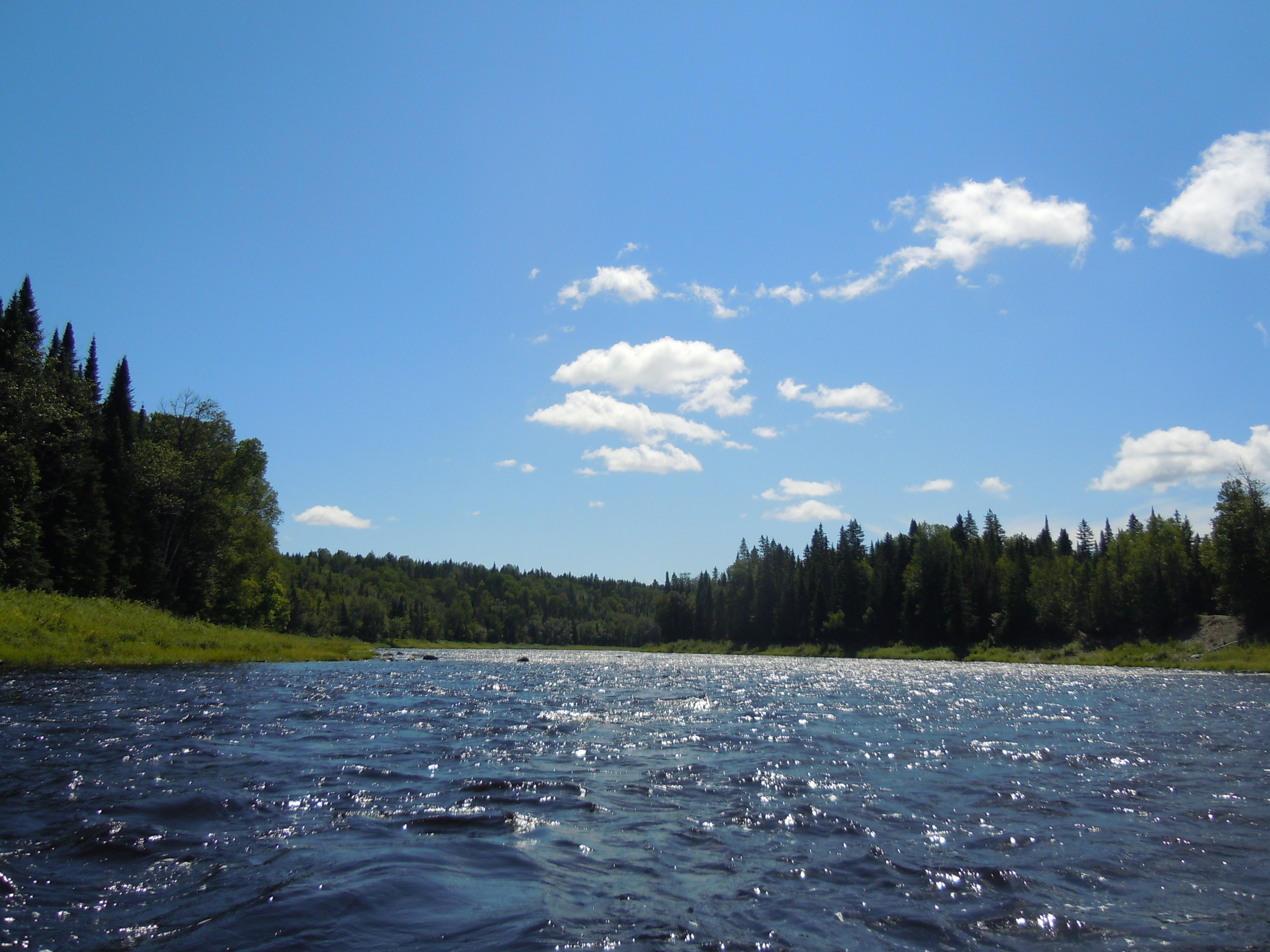
After a hearty breakfast, we started off at 8:45 a.m. with less than a mile of the Allagash remaining before the St. John. In this short section lies fairly straightforward Casey Rapids.
Dad suggested I go first today, to find a good line through the whitewater sections. I had just swiveled around to check on Dad when he tried to navigate between two rocks and hung up on a third, tipping over and going for a chilly swim. I scooped up his floating hat and water bottle, as he walked his canoe to shore, still with a solid grip on his double-bladed paddle. In my helpful fashion, I hauled his boat up on shore and dumped out the water. It was a day later (on the way home) before he realized that was probably where he lost his GPS, rather than in the river itself!
Turning downstream on the St. John, we searched carefully for the last two missing items…Dad’s spare custom cherry canoe paddle and his bleach-jug bailer. You will be happy to know that although Dad spotted just one of them, it was the paddle. Where Pelletier Brook enters on river right is a Class II rapid not marked on Map 13, which I successfully ran right down the center. Dad was nearer shore and was forced to line his boat along the edge. Trying to take his photo with one hand and bring him a makeshift walking stick in the other, I dropped the camera, so no action shots today. From here our luck had nowhere to go but up.
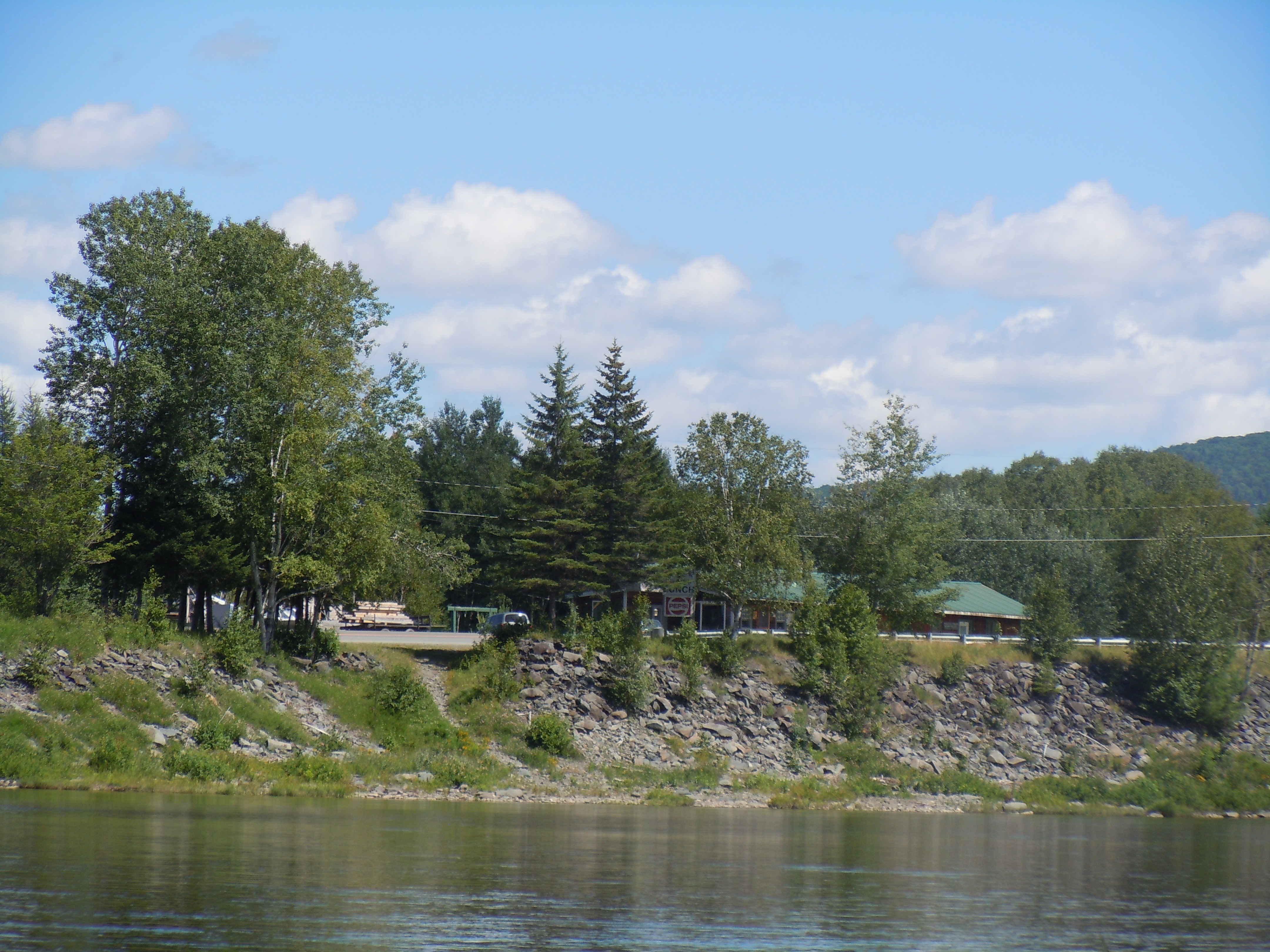
Mom has gotten comfortable driving Dad’s Toyota Tacoma truck just for this trip (thanks, Mom!) and she met us in St. Francis for lunch. In spite of the challenging morning, we decided to continue on after our lunch of cheeseburgers, soda, and candy bars from the general store. Norm Pelletier, who generously let us access the river through his campground, estimated that we had 4 1/2 hours to go to reach Fort Kent. As much as I had wanted to dawdle on the Allagash, I wanted to hurry now. It was starting to rain in earnest, but the four difficult Class II rapids were all behind us. Dad had run the last several perfectly, including the huge standing waves in Rankin Rapids. So off we went in the fast-moving current, averaging about 4 mph.


TOTAL MILES: 749.7 (the official NFCT literature gives the total trail distance as 740 miles)