
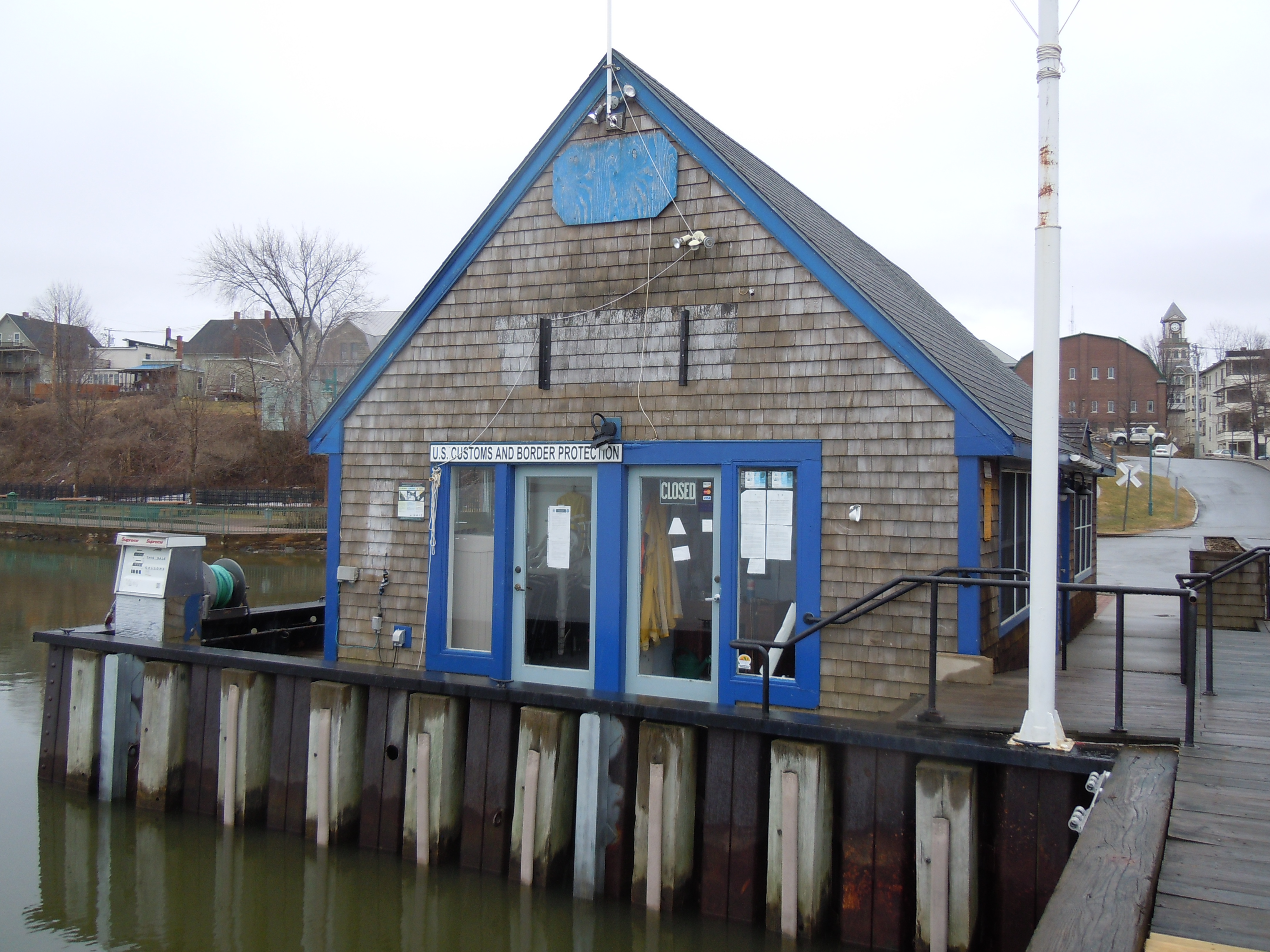
This is the story of our recent whirlwind tour (in my RAV4) through most of Maps 6 and 7 of the NFCT, told in pictures. Above you see the check-in point for U.S. Customs in Newport, VT. At this point, I will be 267 miles into the trip, at the south end of Lake Memphremagog and returning from the area where the trail meanders into Quebec. It was a gray day when we visited.
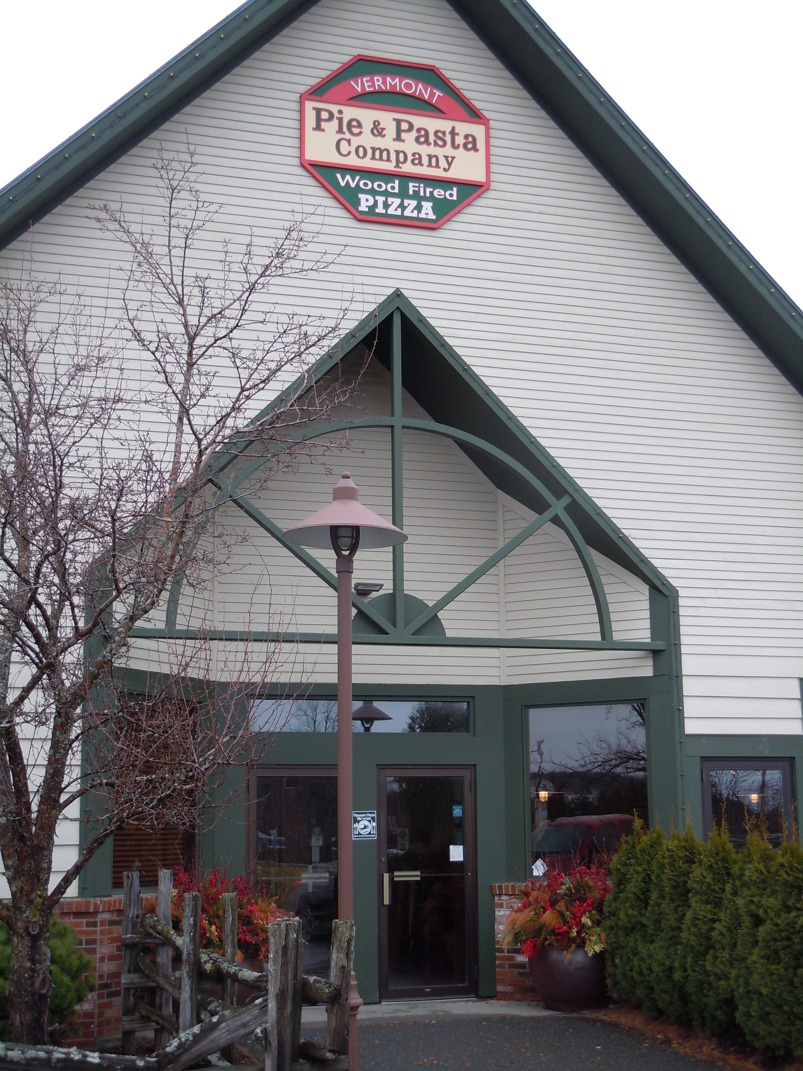
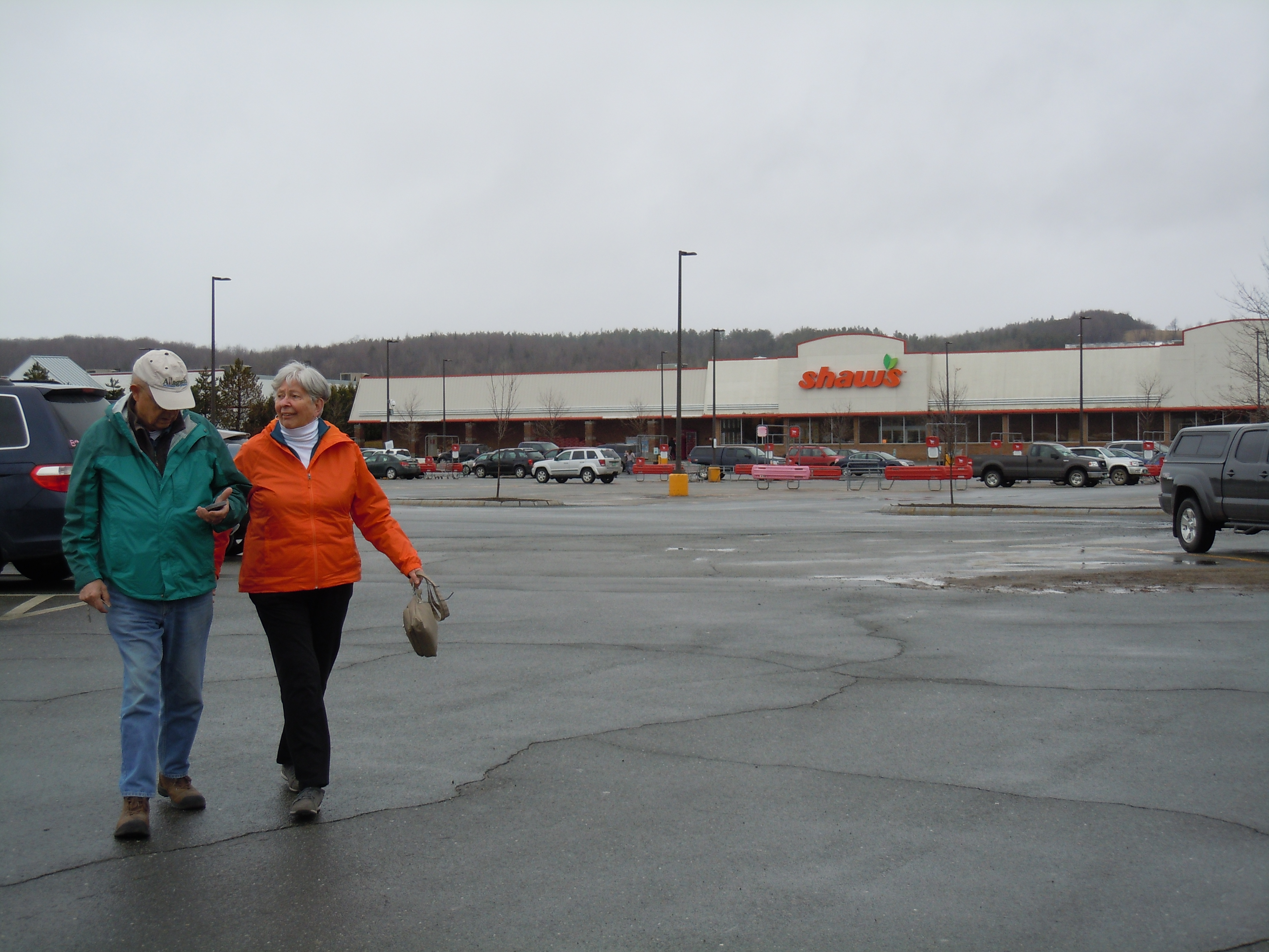
Food, of course, is of the utmost importance. Here we are in Derby Center, VT in the midst of the 32-mile upstream section of the Clyde River, some of which I will be bypassing by road. And it will be a relief to paddle the few lakes and ponds that are included in this mileage. Note the happy, carefree parents, lovely large grocery store (color-coordinated with their jackets), and WOOD-FIRED PIZZA!
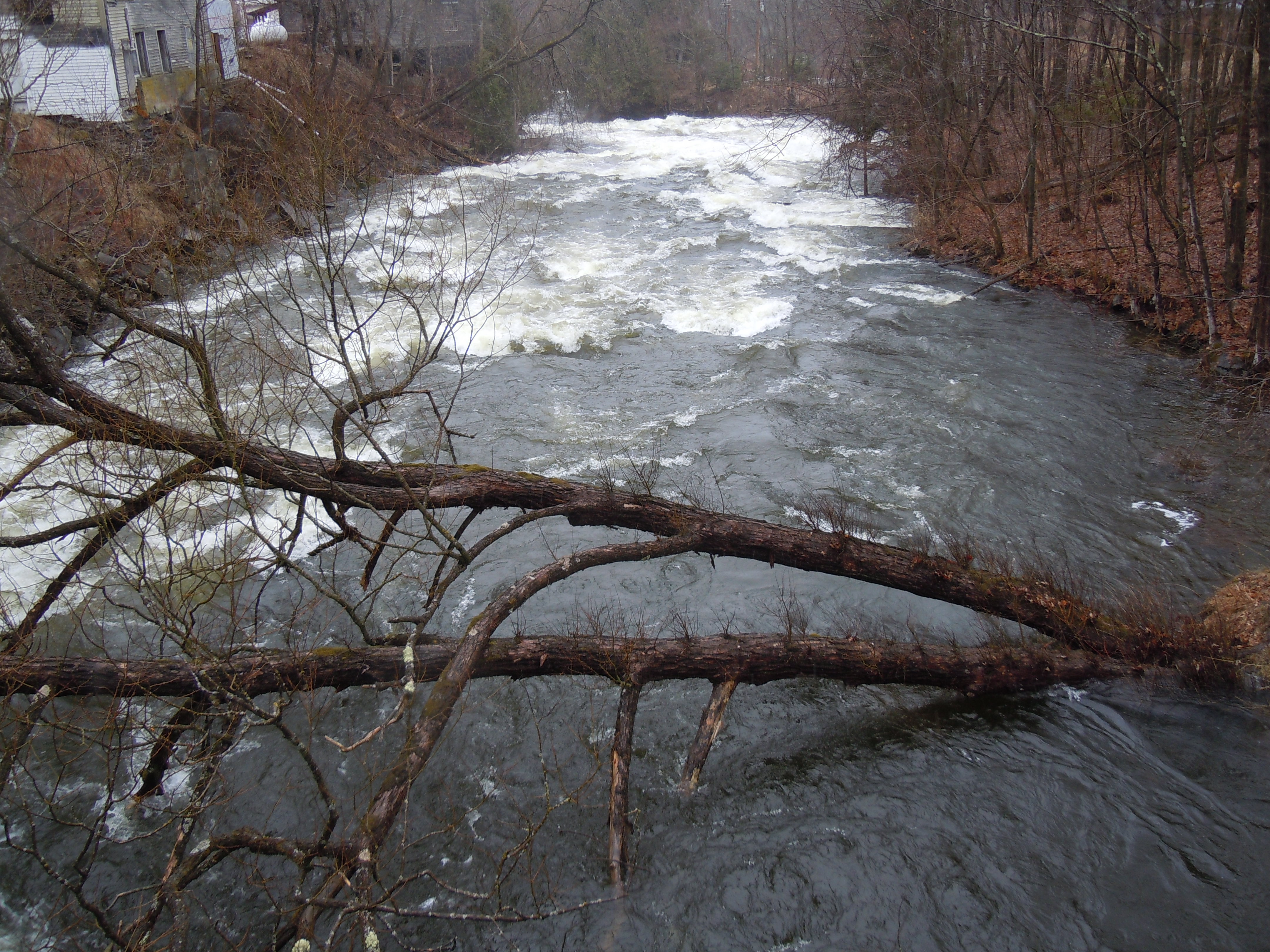
And why are you frequently portaging around parts of a perfectly good river? Choose your answer: rapids; dams; very shallow sections; torrential, angry, raging, flooded sections (we saw a lot of that last week); and obstacles like this lovely tree. The good news is that there are great maps and paddler blogs to consult, as well as roads that run along beside many miles of river.
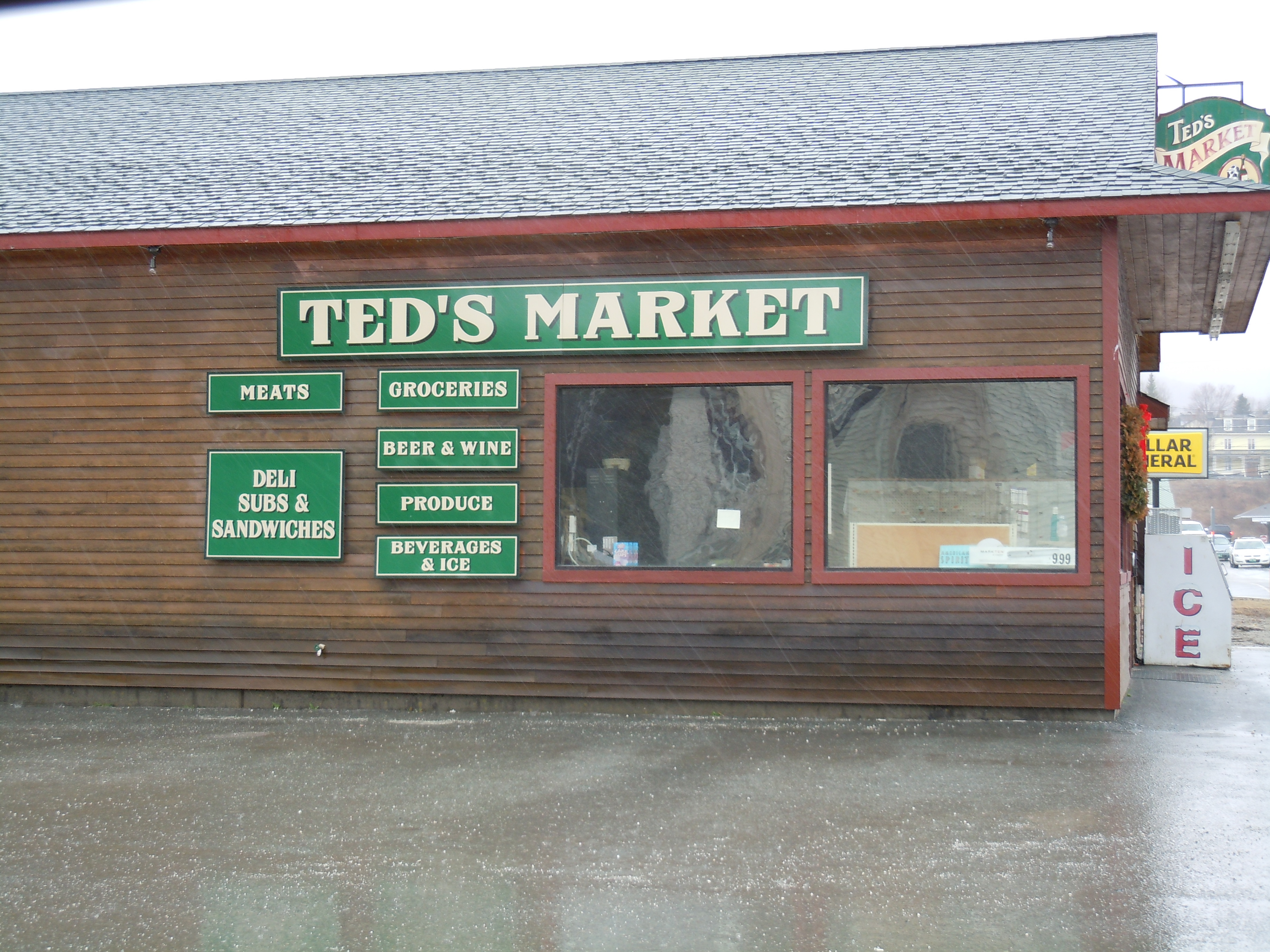
In Vermont and New Hampshire, the NFCT passes through many small towns with general stores of varying sizes, such as this one in Island Pond, VT. Purchasing food as you go helps the local economy, lightens your paddling and portaging load, and adds welcome variety.

After the Clyde comes a rather enigmatic portage and then the Nulhegan River, going downstream, often at a frantic pace. I may walk around as much as 12 of its 18 miles, depending on water levels. I look forward to passing through a National Fish and Wildlife Refuge there.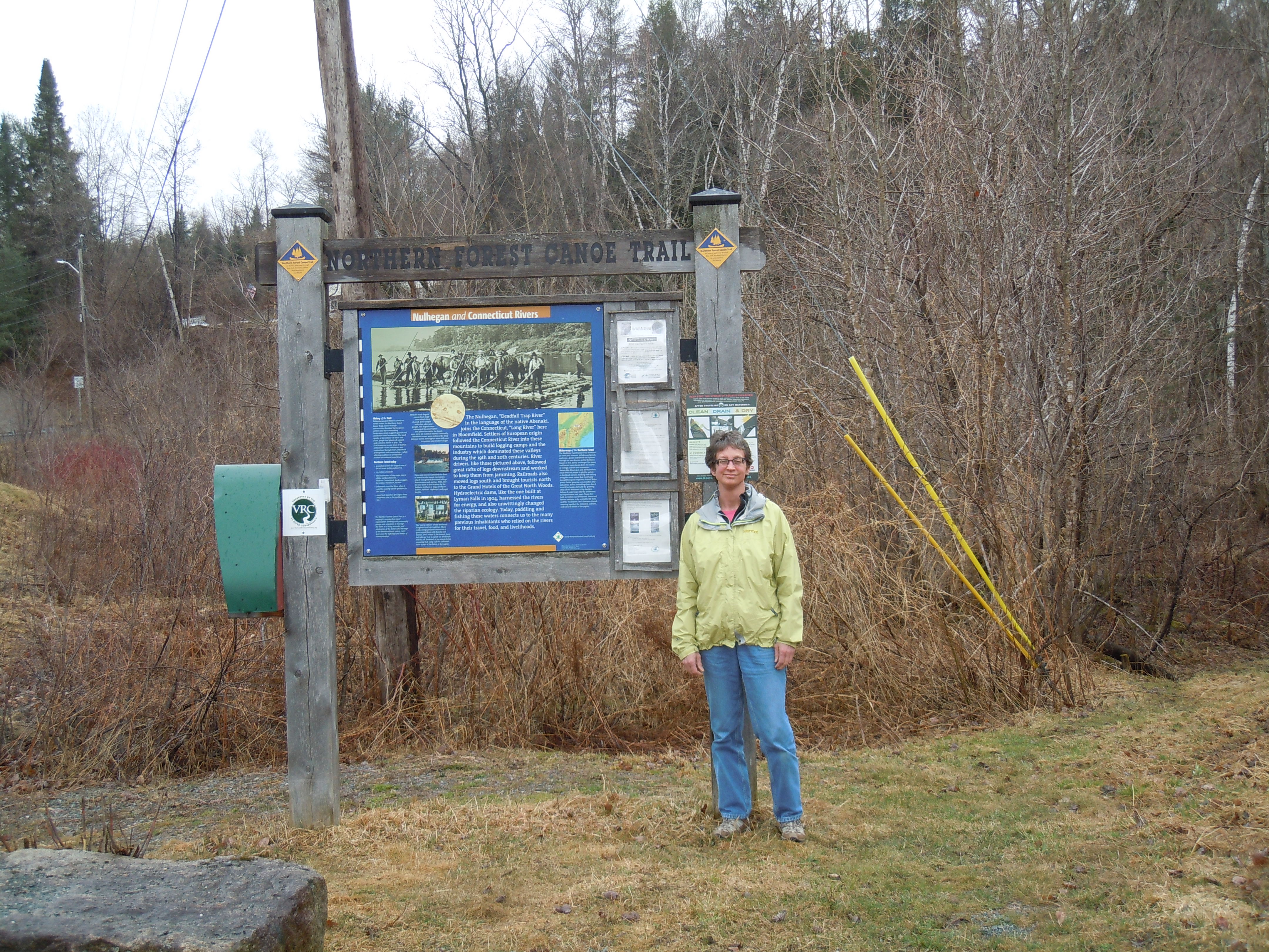
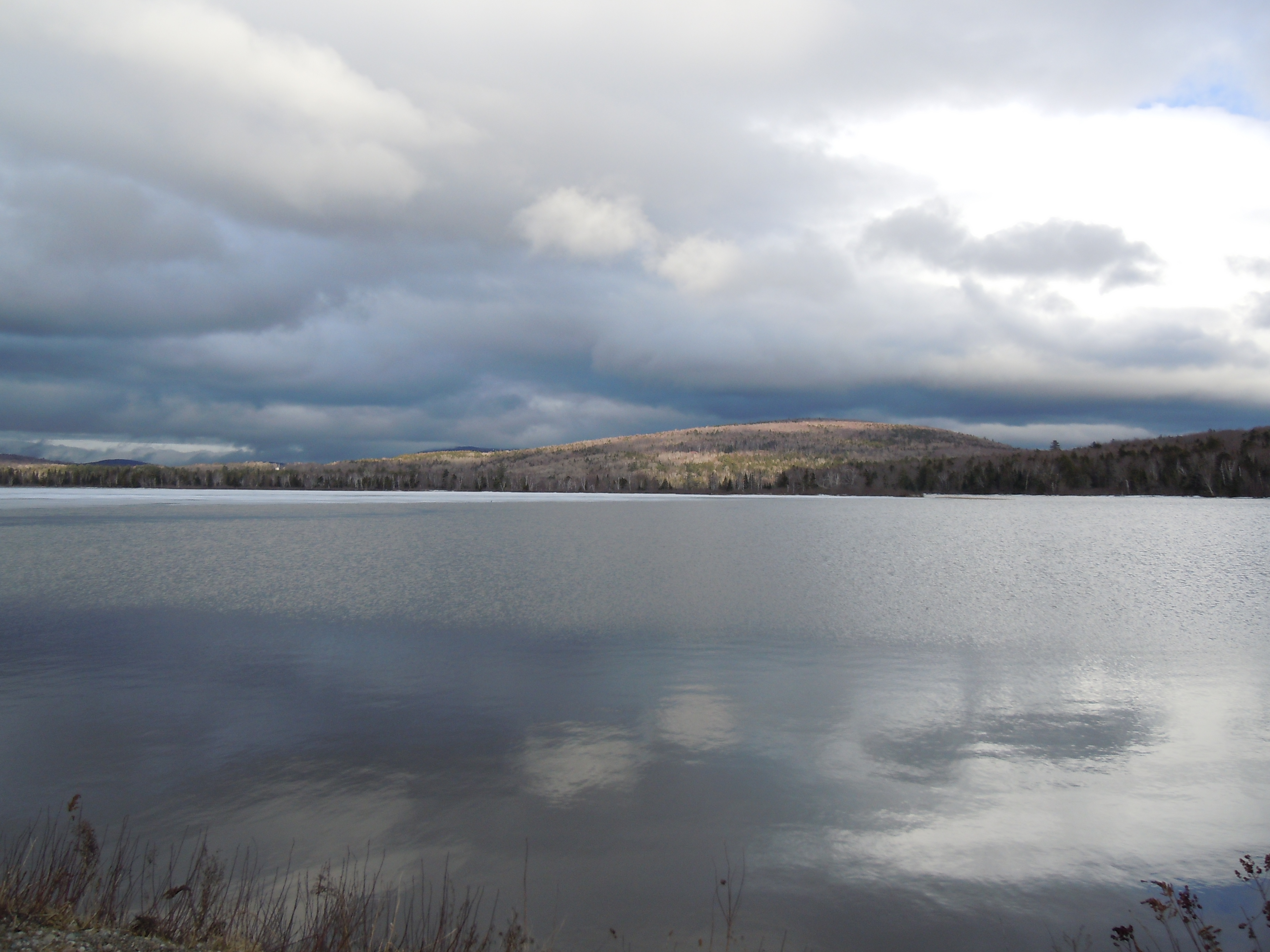
A huge sigh of relief will be expelled here, as I will have reached the Connecticut River, which is both relatively calm and headed in the right direction. Twenty miles of blissful paddling will bring me to the Ammonoosuc and then the Androscoggin Rivers, both upstream paddles. The sun started to peek out at Pontook Reservoir below, just before reaching the Androscoggin. Like the lifting clouds, seeing this part of the trail boosted my confidence immensely.

So proud of you and so inspired…will be following you all of the way!
LikeLike
The encouragement, enthusiasm, and prayers of friends and family mean so much to me, thanks!
LikeLike