Always more to learn: Tannehill Ironworks Historical State Park, AL

Discovering the deep historical roots and natural beauty of this large and popular state park near Birmingham

The restored blast furnaces of the Tannehill Ironworks rise high above Roupes Creek.

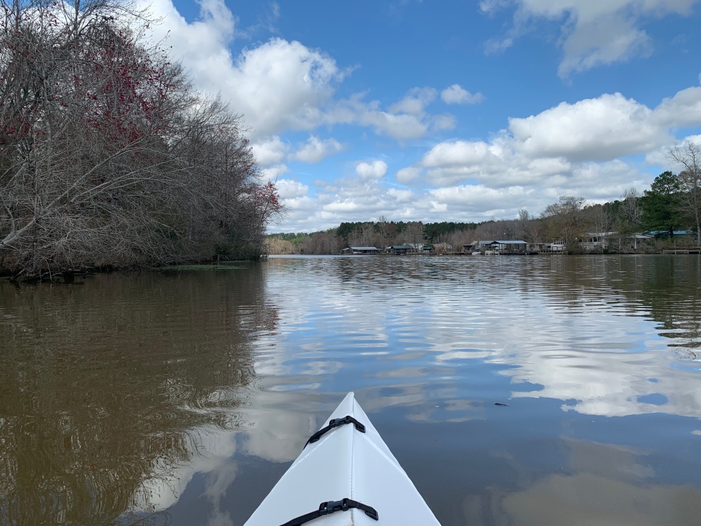
Writing a travel book can be full of surprises. When I set out, I had no inkling that I would be learning about the early iron-making industry. During the Civil War, Alabama played a key role in producing pig iron (more than all of the other Confederate states combined) and making cannons and ammunition. Bars of pig iron were sent to the Selma Arsenal, which produced half of the cannon and two-thirds of the ammunition used by the South in the final two years of fighting. This region is unique in the world for its abundance of all of the resources needed for iron production: iron ore, limestone, and either coal to make coke or forests to produce charcoal.

Hikes in the park at times follow an old stagecoach route or the Iron Road where the pig iron was transported 18 miles by eight team mule wagons to the Alabama & Tennessee Rivers Railroad.
Spotted trillium (or perhaps the look-alike Little Sweet Betsy) in a wet swampy spot near Roupes Creek. During my week at Tannehill, the woods began to green up, with flowering dogwood, redbud, and native azaleas adding touches of white, lavender, and pink.
Violets bloom in an old slave cemetery, brightening the final resting places of furnace workers and their family members, whose names are long forgotten.

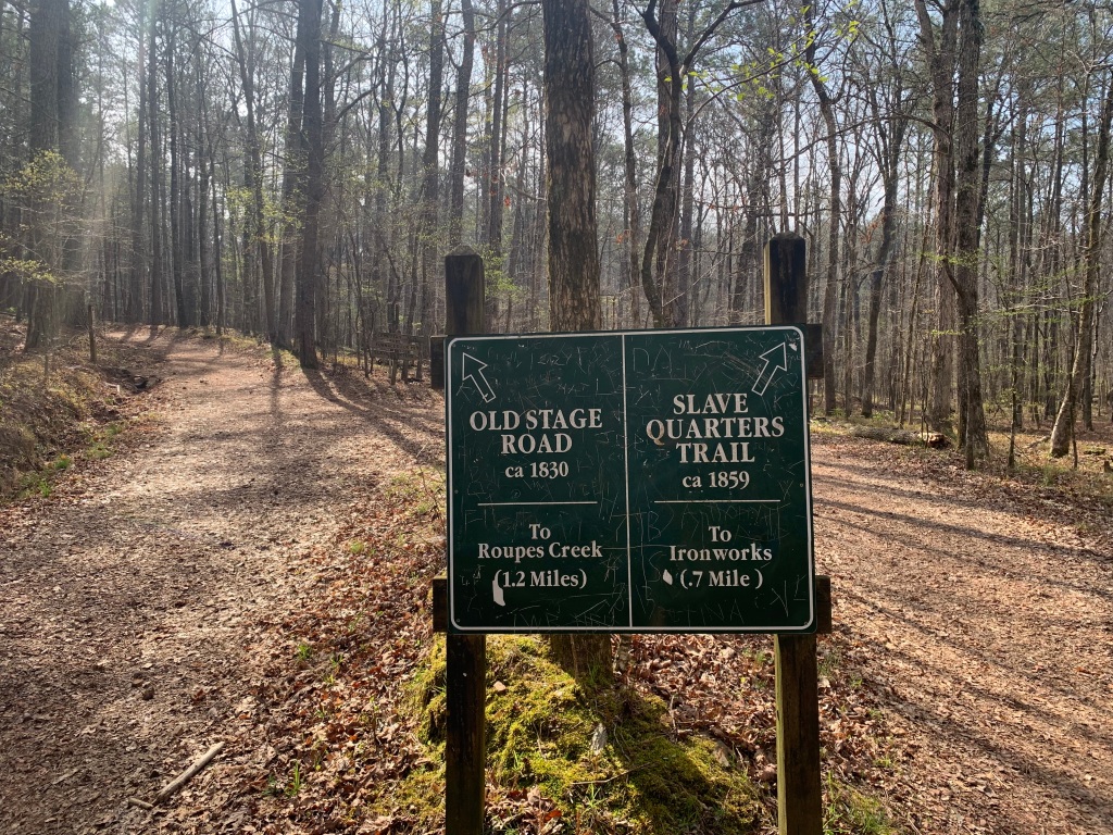
Tannehill is also home to the Alabama Iron and Steel Museum, which surpassed all my expectations. For almost two hours, the story of Tannehill came to life for me. Beginning with the huge seams of brown and red iron ore found locally, to colliers camping in huts to make charcoal to large displays of 1800s household and military items made either here or at the Selma Arsenal.

During the Civil War, over fifty Alabama caves were mined for saltpeter (potassium nitrate), the primary ingredient in gunpowder. In the latter years, the job fell to boys too young to fight. This iron pot, made at the Selma Arsenal, is seven feet in diameter and still contains saltpeter residue.
Tannehill Ironworks Historical State Park is a mix of the wild, the historical, and the crowded and touristy, but I sure did love a one-dollar Dutch chocolate ice cream after a long hike!
r
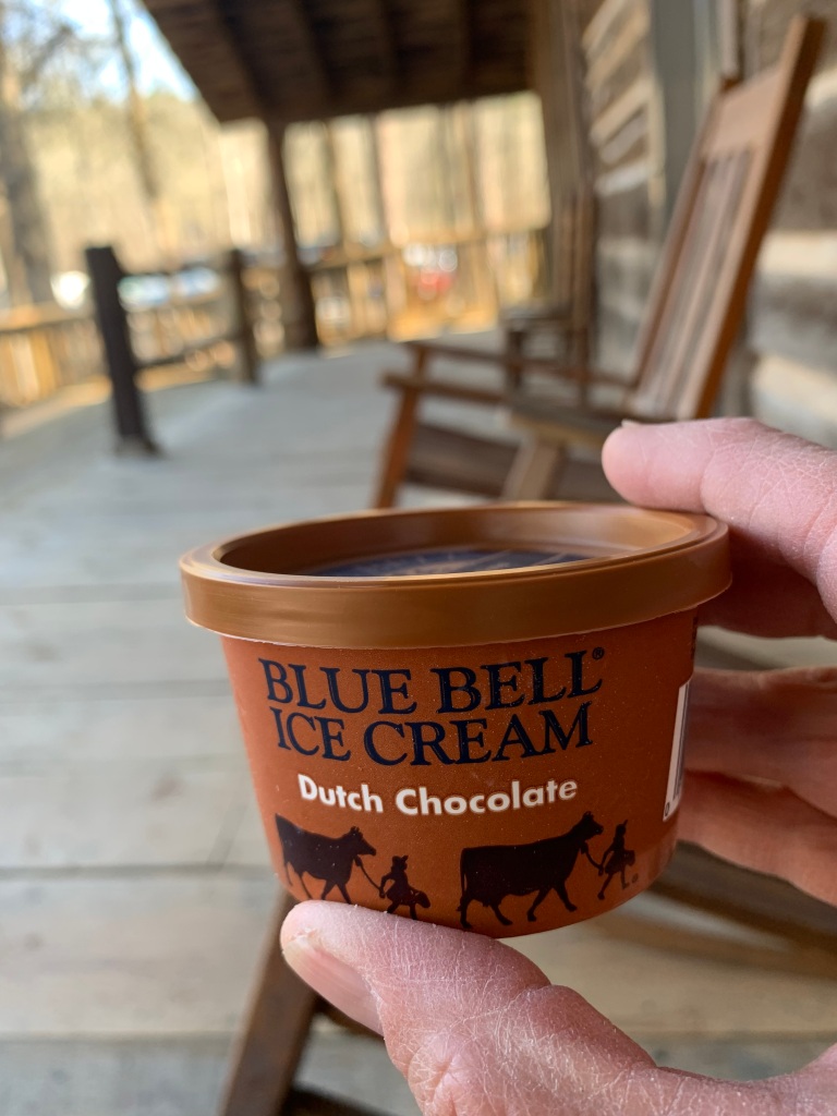
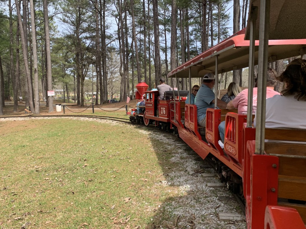
On weekends, this cute train runs from the campground to the pioneer farm, gristmill, and fairgrounds (home to a huge monthly craft show). Just like the ice cream and senior museum admission, a one-way train ride costs just one dollar!
Campground 3 offered more privacy and an abundance of gray squirrels exploring the steep hillside behind my campsite. Campgrounds 1 and 2 look more like a crowded RV park.

Slow moving waters: Patsaliga Creek, near Andalusia, Alabama

Meeting aome intriguing inhabitants of a tributary of the Conecuh River

After anxiously stalking back and forth in the woods with a repetitive clicking call, this limpkin decided I was alright and strutted and posed for quite a while.

I love stumbling upon an experience purely by chance. In searching for a laundromat, I noticed a sizable body of water north of Andalusia, Alabama. Certainly, it was more substantial than the tiny, mostly spring-fed sinkhole ponds of the nearby Conecuh (cuh-NECK-uh) National Forest where I was camping. After laundry and worship at the Southside Baptist Church, I found the boat launch and a friendly bass fisherman also launching. “That way, it’s all river,” he pointed out, “just watch out for moccasins. There are plenty of them up that way.”

It felt refreshing to be on moving water again. I assumed this was the Conecuh River, which was impounded to create Point A Reservoir, just below. Turns out I was on a tributary of the Conecuh.

I calculated the current at about half a mile an hour, upstream first, just the way I like it. The limpkin called my attention with a strange, unfamiliar, piercing call that no one could miss, then segued to the clicking sound while walking. There were also many turtles out in the on again, off again sun.

I’m still working on identifying this small map turtle. I saw many of these individuals with two distinctive bumps on their peaked shells, often clinging to steeply slanted branches.
The friendly bass fisherman mentioned duck hunting up a little side creek, so I ventured up into this cypress swamp, where I quickly reached a dead end guarded by hungry mosquitoes.

I’ve been using my Garmin Etrex 30 handheld GPS on these paddles to measure distance. This out and back was a little over four miles total, with an average moving speed of 2.0 mph. I’m naturally a slow paddler who spends a lot of time drifting to look at and photograph my surroundings. For those of you keeping track, I now have about thirty-five miles on my new Oru Lake kayak.

One of many flowering trees announcing the start of spring in Alabama. This one was a species of serviceberry or shadbush, perhaps downy serviceberry.
This is the map I had to work with, an example of the drawbacks of embracing a spur-of-the-moment adventure. I launched at the upper #1, and the creek that I paddled up is not labeled.